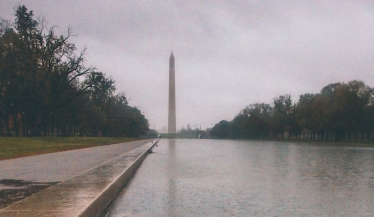
Washington D.C. residents and visitors may see showers today, with the National Weather Service forecasting a 50% chance of rain mainly after noon. High temperatures are expected to reach around 72 degrees, with westerly wind gusts up to 28 mph.
According to the National Weather Service, tonight’s forecast calls for mostly clear skies and a low near 49 degrees. Winds will shift to the northwest at 7 to 13 mph.
Gale warnings remain in effect until 8 AM for the lower Tidal Potomac River and parts of the Chesapeake Bay, as per the National Weather Service.
Sunday will bring increasing clouds and a high near 74, with no significant chance of rain. Sunday night is expected to be mostly clear with a low around 53 and light northerly winds.
Monday is forecast to be sunny with a high near 77 and light afternoon winds from the northwest. Monday night will be mostly clear with a low around 57. Temperatures will rise through the week, peaking near 92 degrees on Thursday with sunny skies.
Friday brings a 40% chance of showers and partly sunny conditions, with highs around 90.
The National Weather Service’s Hazardous Weather Outlook includes the Maryland portion of the Chesapeake Bay, Tidal Potomac River, and the I-95 corridor through central Maryland, northern Virginia, and D.C. No hazardous weather is expected Sunday through Friday, and spotter activation is not anticipated.


