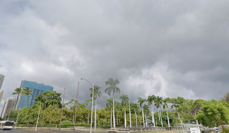
Honolulu locals can expect moderately breezy conditions and scattered showers to persist into early next week, the National Weather Service in Honolulu reports. According to the National Weather Service latest forecast, the cause of this is a persistent high-pressure system fixed north of the Hawaiian Islands. Windward slopes will see the bulk of rainfall, although the National Weather Service anticipates that leeward areas will also experience enhanced shower activity over the coming days.
Rain showers have been hitting some windward areas hard this morning, with Kauai and Oahu receiving up to half an inch of rain in just six hours. Radar and satellite imagery have captured these movements, which "will likely lead to brief periods of moderate to heavy rain over windward areas," while occasionally pushing over mountainous terrain into leeward locales, as reported by the National Weather Service. These conditions are expected to gradually shift into a more stable pattern by the weekend, as a ridge builds overhead bringing increased atmospheric stability and lowering inversion heights, which serves to more likely confine showers to windward and mauka areas.
With the breezy conditions, pilots should anticipate a few challenges during flights. The National Weather Service cautions that there will be "moderate low-level turbulence over and immediately SW through NW of all island mountains due to the locally breezy trade winds." This has led to the issuance of AIRMET Tango, which will persist for several days. For those navigating north through east sections of the islands, mountain obscuration from increased shower activity will also be a concern acknowledged by AIRMET Sierra in effect through the morning hours.
The maritime community isn't left untouched by the prevailing conditions. Fresh to strong easterly trade winds will maintain their hold, necessitating a Small Craft Advisory through at least 6 PM HST Friday for various areas, including Maalaea Bay and the Big Island southeast waters. Surfers, on the other hand, can expect to ride average north and west-facing swells through Thursday, with a promising south-southwest swell that's likely to cause above-average surf conditions over the weekend. "This swell has peaked slightly above guidance at the American Samoan PacIOOS buoy overnight, which will translate to a peak locally late Saturday into Sunday," the National Weather Service foresees, raising the potential for surf reaching advisory levels.


