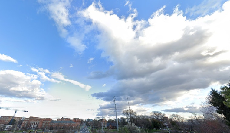
As Charlotte braces for an overcast week dotted with showers and thunderstorms, the National Weather Service provides the latest insights on what residents can expect weather-wise. The forecast for today involves a likelihood of precipitation later in the afternoon, as told by a recent NWS update. With humidity sitting uncomfortably high at 94% and visibility held at a maximum of 10 miles, the day might be less than ideal for outdoor activities. Temperatures hover around 71°F this morning, but are expected to climb near 84°F.
According to the NWS Charlotte update, the calm of the morning will soon be disrupted as thunderstorms are predicted to roll in after 5 pm. Residents should prepare to quickly move indoors, as these storms are likely to persist into the night and bear unpredictable rainfall amounts. The chance of precipitation remains at 60%, ensuring that the day does not shy away from the possibility of disturbances.
Looking ahead, the forecast doesn't seem to promise any respite. Saturday’s weather narrative speaks of an 80% chance of rain, with showers and possible thunderstorms expected after 4 pm. Similar conditions are poised to remain through the weekend. As these patterns settle in, the city anticipates a high near 87°F. The wind will maintain a gentle sway from the southwest, which might not be enough to deter the showers.
The rhythm of rain continues into Sunday, with showers and thunderstorms becoming likely after 3 pm. Consistency defines this week's weather as Monday shows a 40% chance of afternoon showers, inching up to temperatures close to 89°F. The forecasted weather could see residents to frequently alter their plans, with sudden showers being a continuous theme through until at least Juneteenth, which expects a sunny sky shadowed by a 30% chance of storms.


