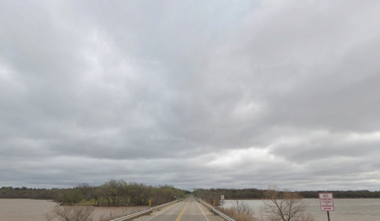
The National Weather Service in Oklahoma City has issued a Flood Watch remaining in effect through tomorrow morning, cautioning that flooding caused by excessive rainfall remains possible in portions of both Oklahoma and northern Texas; the watch includes extensive areas, with several counties named from Atoka to Wichita, the NWS forecasts widespread 1 to 2 inches of rain, with potential for localized amounts of 3 to 4 inches, such conditions potentially leading to flooding of rivers, creeks, streams, and other vulnerable zones.
As the state grapples with the impending deluge, communities brace for it, the NWS detailed forecast anticipates "showers and thunderstorms, mainly after 4pm" today, with a high of 85 degrees and strong winds gusting up to 28 mph, leading to 90% chances of precipitation and new rainfall between 1 and 2 inches, citizens stand warned of the risks and are advised to stay alert to updates and be prepared to act, should flooding develop.
Continuing, the moisture-drenched imminent future unfolds with predictions of thunderstorms mainly before 10pm tonight, intimating a decrease in temperatures to around 58 degrees amidst south-southwest winds shifting to the north post-midnight, while prospects for rainfall linger at amounts between a quarter and half an inch, the watchful gaze of forecasting eyes stays fixed on potential impacts of excessive runoff affecting low-lying regions and those prone to the swell and sway of water's whims.
Looking ahead to the rest of the week, the forecast suggests a persistent parade of precipitation possibilities, with Thursday showing a 40 percent chance of showers and thunderstorms before 1pm, while Friday heralds a 50 percent chance of similar conditions, and as the weekend approaches, residents may encounter partly sunny skies periodically interrupted by a series of likely showers and thunderstorms, once again on the nightly prowl, the forecast serves as a reminder of nature’s stochastic symphony, its rivulets and torrents composing the week’s weather narrative.
The NWS stresses the importance of monitoring further broadcasts and preparing for possible Flood Warnings, underscoring that "Excessive runoff may result in flooding of rivers, creeks, streams, and other low-lying and flood-prone locations," echoing their long-standing commitment to public safety and the dissemination of critical information during weather events, as communities across the affected counties hunker down and await the skies uncertain dispensations.


