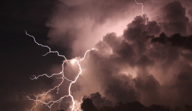
As Jacksonville residents go about their weekday routines, the National Weather Service has issued a forecast that will likely keep umbrellas in hand and raincoats close by. According to the latest update from the NWS, the area faces a high chance of showers and thunderstorms, with today's likelihood reaching 80%. The unsettled weather comes with an expected high near 84 degrees and southeast winds blowing between 7 and 11 mph, with gusts potentially reaching up to 17 mph.
The rainfall is not a fleeting guest; new amounts between a quarter and half of an inch are possible, emboldening the already saturated grounds of the city. The evening hours won't offer much reprieve, with showers and possibly a thunderstorm forecasted before 7 pm, followed by a persistent chance of showers and thunderstorms, primarily between 7 pm and 2 am. The humidity, sticking to the air like molasses in the deep Southern heat, will only slightly ease, as temperatures drop to a low around 72.
Looking ahead, the NWS forecast predicts a similar pattern for the remainder of the week. Thursday's high is near 87 degrees with an uncomfortable 90% chance of showers and thunderstorms, particularly before 5 pm. This is followed by a stretch of potential storms extending into the night. By Friday, while the sun might peek through occasionally, storm clouds are again likely to burst after 11 am, with a high near 92 and a 70% chance of rain.
Residents looking forward to outdoor weekend activities should keep alternative plans ready. Saturday heats up to a high near 94, but with a 60% chance of thunderstorms in the afternoon, and Sunday essentially mirrors this pattern— a high chance of precipitation and a repeat of the high temperatures. The next workweek opens with an 80% probability of rain both Monday and Tuesday, ensuring that the dose of storms Jacksonville is enduring is far from over, further highlighting the fact, indeed; consistency is the only comfort in this week's forecast.


