Today, Las Vegas and surrounding areas are bracing as critical fire weather conditions persist, with advisories heightening caution across southern Nevada and northwest Arizona. The National Weather Service in Las Vegas reports that low humidity and gusty winds are creating ripe conditions for fires. Residents in affected areas are being warned about increased fire danger, and the NWS has issued a Red Flag Warning for parts of Clark, Lincoln, and Mohave counties, lasting until later tonight.
In addition to the fire concerns, a sharp temperature drop is making its presence known. While many might welcome the cooler air, the National Weather Service advises that "Below normal temperatures will return to the region today," and this trend is poised to continue into early next week. The cold snap comes as a low-pressure system dips into the Desert Southwest, culminating in today's peak gusts across the Mojave Desert, bringing about wind advisories for several counties, including Esmeralda and San Bernardino, where outdoor burning and activities involving sparks or flames approach the boundary of risk.
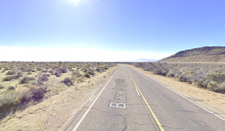
Travel and visibility may also be impinged; regions within the warning zones are expecting winds that could reach 40 to 50 mph, leading to advisories cautioning against unsecured outdoor items, troubling driving conditions for high-profile vehicles, and potential instances of decreased visibility due to blowing dust. Recreational areas are not exempt; a Lake Wind Advisory is in effect for the Lake Mead National Recreation Area and the Colorado River Valley, and boat operators are cautioned about 2 to 4 foot waves threatening safety on Lakes Mead, Mohave, and Havasu today.
Transportation can expect disruptions, with the Aviation forecasts from NWS Las Vegas indicating gusty conditions persisting into the evening. For Harry Reid airport and surrounding areas, "South to southwest winds will continue into this evening, with gusts of 30 to 35 knots likely from late morning through early evening," says the National Weather Service, and although smoke from distant fires may impact visibility, especially from northern Mexico and the Conner Fire near Lake Tahoe, no significant cloud cover is anticipated even as the temperatures settle below the century mark today and Sunday.
For local residents and travelers, the National Weather Service urges caution and encourages the reporting of any significant weather impacts through standard procedures. As southern Nevada and northwest Arizona bear witness to these atmospheric challenges, it is imperative to adhere to guidance and remain vigilant during these critical conditions.


