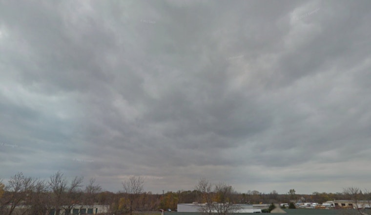
The National Weather Service in Milwaukee has released a detailed forecast for the coming days, which includes a mix of storms, potential flooding, and a heatwave to follow. According to the forecast, there is an 80% chance of showers and thunderstorms today, with new rainfall amounts between a half and three quarters of an inch possible.
Residents should expect to see high temperatures near 69°F today with light winds turning from east to northeast in the morning. However, tonight, the forecast predicts showers and thunderstorms before 9pm, subsequently leading to a drier period with only a slight chance of more rain and thunderstorms after 9pm. Low temperatures are anticipated to be around 62°F, accompanied by a northwest wind traveling at 5 to 10 mph. In an effort to always keep residents informed, the NWS notes, "Spotter activation is not needed this evening," but rainfall reports are welcomed and will be appreciated.
Looking ahead, the Juneteenth holiday is expected to bring a slight chance of showers before 10am with a mostly sunny sky and high near 80°F. For the weekend, Milwaukee locals can prepare to experience a notable shift in weather as temperatures are forecasted to soar. Saturday, in particular, will be sunny and hot with a high near 96°F, and the mercury is not likely to drop much below 73°F throughout the night.
Moreover, the NWS warns of hazardous weather conditions due to the impending heatwave, with heat index values predicted to reach around 100 degrees from Saturday through to Monday. The NWS states, "Hot and humid conditions are forecast Saturday through Monday." The rise in temperatures invites Milwaukee residents to search for ways to stay cool and hydrated, as prolonged exposure to high heat indices can pose significant health risks.
The NWS's Hazardous Weather Outlook underscores the possibility of urban and small stream flooding today, particularly over southeast Wisconsin, and encourages the public to be cautious during this period of heavy rainfall. Additionally, there will be sporadic chances for thunderstorms from tomorrow night through Friday night, and again from Monday night into Tuesday.
For the most current weather updates and to track any changes in the forecast, residents can visit the National Weather Service website at NWS Milwaukee/Sullivan.


