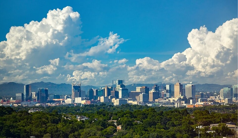
Nashville's weather forecast for the upcoming week appears to be a mixed bag of sun and storms. Residents can expect intermittent showers and thunderstorms, with the skies mostly cloudy and humidity lingering around 79%. The temperatures are poised to hover in the mid-80s, offering a warm backdrop to the sporadic wet conditions, according to the National Weather Service in Nashville.
Beginning on Friday, the likelihood of showers and thunderstorms is high, especially between the hours of 1 p.m. and 4 p.m., followed by more showers and potential thunderstorms after 4 p.m. "Chance of precipitation is 80%. New rainfall amounts between a quarter and half of an inch possible," says the National Weather Service. The wind will remain relatively light, with south-southwest drafts ambling at 5 to 10 mph. The unsettled pattern is expected to persist through Saturday with an 80% chance of precipitation and similar conditions stretching into Sunday.
As Nashville heads into the new week, the weather isn't turning decisively to make a clear pattern. Monday exhibits a 50 percent chance of afternoon showers and thunderstorms, with calm winds switching to west-southwest post-noon. The temperature could reach up to 88 degrees, only to drop back to around 72 degrees at night with a lingering 20 percent chance of rain.
Looking toward Juneteenth, the forecast suggests a continuation of this pattern with a 50 percent chance of showers and thunderstorms amid partly sunny skies. The high for the day is projected to be around 92 degrees. Residents planning any outdoor activities to commemorate Juneteenth should perhaps to timely prepare for possible interruptions by nature's whims.


