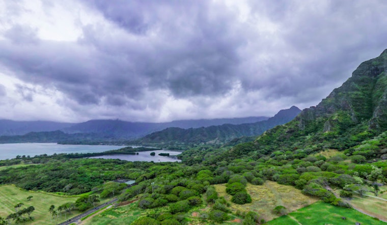
Oahu and neighboring islands can expect a reinforcing of trade winds starting today with a series of dry conditions as we move through the day, according to the latest forecast from the National Weather Service in Honolulu. However, looking ahead, that stability is set to be interrupted with an anticipated increase in showers come Monday, a pattern that's likely to hold its sway through to the middle of the week, bringing moisture to windward and mauka locales.
Though currently we are sitting under a dry and stable airmass, a surface high northeast of the state is pressing in, and that's going to kick up the winds. on radar this morning, isolated showers are visible, affecting mainly those windward and mauka areas while the rest stay dry, the NWS report details. Keen attention is called for in Maui and Hawaii counties, where there's a heightened fire weather risk, given the strengthening winds and dry conditions, which, when coupled with drier fuels, pose a significant danger; the public is urged to exercise caution to avoid sparking wildfires under these circumstances.
As the week progresses, an upper-level trough is expected to edge nearer to the islands, potentially scaling down the trades, but concurrently, a spate of showery weather is predicted to roll across the state, lingering through Thursday. Showers are predicted to hit chiefly along windward and mauka slopes with a slight chance of them spilling over into leeward areas, with a chance of some persisting moisture tailing into the weekend.
On the aviation front, increased breezy trades will now continue to press through tomorrow and the start of next week, with low ceilings and limited showers favoring windward and mauka spots; pilots can anticipate predominantly VFR conditions, however, there are patches of MVFR conditions due to showers, the small pockets of SHRA may cause visibility issues but otherwise conditions look clear, the forecast states. Aviation advisories are currently in place for mountain obscuration and moderate turbulence in the downwind sections of the islands' terrain.
In marine news, despite the high pressure system's sluggish weakening northeast of the Hawaiian waters, small craft advisories are ongoing for the windswept channels and waters around Maui County and the Big Island, though these are expected to be scaled back later in the week. A moderate, long-period south swell is anticipated to cause a spike in surf—and possibly reach High Surf Advisory criteria—by Tuesday, after a recent swell was observed in Samoa.


