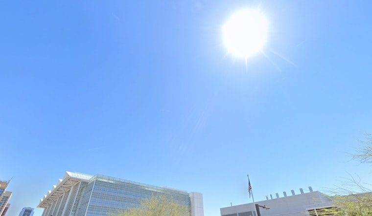
The City of Phoenix is prepping for a sweltering week ahead, as the latest weather data point to a steady rise in temperatures. According to the latest update from the National Weather Service, today's sky in Phoenix will remain mostly sunny, with temperatures climbing near a toasty 98 degrees. A calm wind is set to turn southwest, hardly stirring more than a light breeze at around 5 mph in the afternoon.
Tonight, the desert city is likely to stay mostly clear with a low around 77 degrees. The west wind, making its presence known at a gentle 5 mph, will eventually subside to calm as the night progresses. This pattern of sunny days coupled with clear nights is expected to not just continue but to also mark steadily ascending daytime highs – looking to breach the century mark by Friday, inevitably pushing to a peak of around 107 degrees by Sunday.
For those venturing out in the evening, the night skies during the latter part of this week promise clear and mild conditions. Tomorrow night's forecast predicts a low near 76 degrees, with calm winds shifting to a westerly direction, maintaining a light breeze at about 5 mph.
As the weekend unfolds, the mercury is set to soar relentlessly upward, slated to reach a high near 105 degrees on Saturday, escalating further to 107 degrees by both Sunday and Monday. During this time, nighttime relief will be minimal, with lows hovering in the high 70s, barely allowing the city to cool down. Friday night is expected to be "clear, with a low around 76. West wind around 5 mph becoming calm"—a period of tranquility before the heat wave's peak, as last reported by the National Weather Service.
The start of next week won't bring respite from the heat, with Monday and Tuesday both promising sunny skies and highs maintaining near 107 and 105 degrees, respectively. Light morning winds are expected to strengthen slightly in the afternoons, reaching 5 to 10 mph and offering some relief from the extra heat caused by Phoenix’s urban environment.


