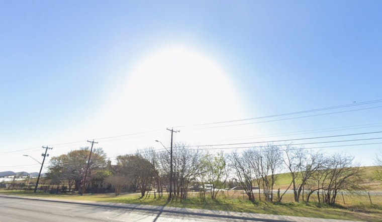
San Antonio residents can expect a rollercoaster of weather over the coming week, according to the National Weather Service. The city will see a shift from today's near triple-digit heat to a series of potentially stormy nights ahead. The heat index is predicted to rise as high as 104 degrees today, urging locals to stay cool amidst the scorching heat.
As evening approaches, the skies are anticipated to stay partly cloudy with a soothing low around 77 degrees. This transition, changing from northeast winds to a more southeasterly flow, brings slight relief after a blistering day. Tomorrow's forecast includes a 30 percent chance of rain with showers and thunderstorms possibly interrupting the partly sunny day after 10am, and the mercury is yet again poised to climb, reaching highs near 95 degrees.
Wednesday sees a higher probability of wet conditions with the National Weather Service predicting a 60 percent chance of showers and thunderstorms, mainly surfacing after 1pm. This weather pattern is set to persist into Wednesday night, which also carries a 60 percent chance of rain, some of which could result from heavy thunderstorms. The temperatures will cool slightly with a high near 90 degrees preceding the stormy evening. Residents should prepare for unsettled weather that could impact outdoor activities and commute times.
Looking ahead to Thursday, San Antonio is in for more precipitation with forecasters expecting thunderstorms that might pour heavy rainfall over the city. "Showers and thunderstorms likely," the NWS cautions, with a continuing 60 percent likelihood of rain throughout the day. The nighttime outlook remains similarly uncertain, holding a 40 percent chance of rain with cloud coverage keeping temperatures around a steady 75 degrees. These conditions suggest that those making plans for later in the week should consider the potential for interruptions by unpredictable weather.
The latter part of the week might afford some respite from the storms, but residents aren't entirely in the clear. Friday's forecast indicates a mixed bag, with a 30 percent chance of showers and thunderstorms against the backdrop of a partly sunny sky. The high is expected to edge up to 91 degrees, while nights will stay mostly cloudy with the temperature hovering in the mid-70s. Continuing the pattern, the weekend also holds a slight chance of rain, with 20 percent likelihood of showers and thunderstorms both Saturday and Sunday, paired with highs creeping back into the mid-90s.


