San Diego residents can anticipate a shift in the weather as slow cooling will continue through the week. According to the National Weather Service San Diego, high temperatures will drop from 10 to 15 degrees above average for the deserts today to approximately 5 to 10 degrees above average for inland areas by Wednesday. By next weekend, inland high temperatures will dip to around 5 degrees below average.
Today's highs will range from the lower to mid-70s near the coast to the mid-90s to 103 for the Inland Empire. A scorching 112 to 117 for the lower deserts, "will be locally dense fog this morning near the mesas and other higher coastal terrain," as per the National Weather Service's Area Forecast Discussion. The humidity levels will remain very dry for inland areas, deserts, and even the mountains, making for a parched atmosphere.
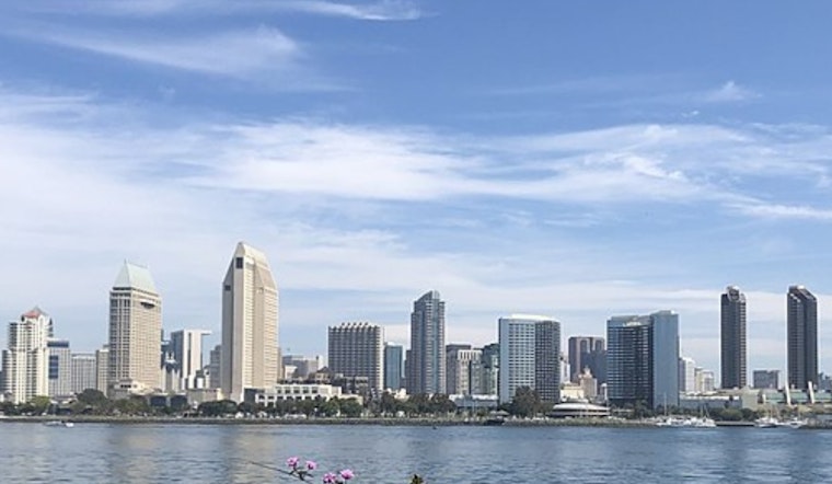
Moreover, the marine layer, currently approximately 1000 feet deep, is forecasted to slowly deepen, with night and morning coastal low clouds returning to the far western valleys by Wednesday. These conditions could lead to patchy fog in coastal areas before 11 AM today, eventually leading to gradual clearing with highs near 78. A similar pattern is expected in the coming days, with patchy fog persisting nightly through Wednesday and into the Juneteenth holiday, as stated in the detailed 7-day forecast.
Breezy conditions are also on the agenda with west winds strengthening in the mountains and deserts each afternoon and evening, potentially reaching gusts of up to 40 kts through the San Gorgonio Pass. Despite these gusts, lower clouds with bases between 400-600ft over the coast have impacted visibility down to 0-3 SM in certain areas this morning, which is expected to improve as the day progresses. However, the NWS warns of similar cloud bases and coverage redeveloping after 06Z Tuesday.
In the maritime domain, though no hazardous conditions are anticipated through Thursday, the NWS suggests wind gusts could reach 20-25 kts in the outer waters near San Clemente Island on Monday afternoon. Additionally, the southerly swell has been diminishing, prompting the expiration of the Beach Hazard Statement, signalling a temporary respite from the heightened surf conditions.


.jpg)