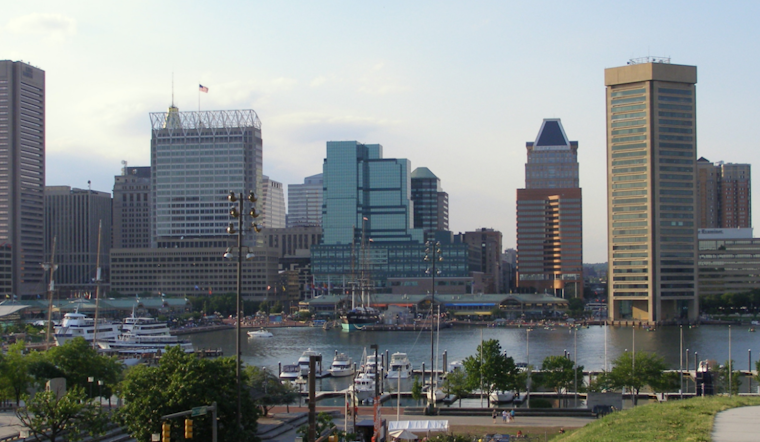
Baltimore is bracing itself for a hot and stormy period as the National Weather Service Baltimore MD/Washington DC predicts oppressive heat coupled with potential thunderstorms, a scenario reflective of peak summer volatility. According to their Area Forecast Discussion, Bermuda high conditions are moving offshore today, leaving room for a weak frontal boundary to head toward the region and stall through the weekend, providing a backdrop for several disturbances.
The near-term forecast warns residents of soaring temperatures reaching the mid-to-upper 90s, along with dew points in the 70s, creating a steamy environment where heat indices could hit the mid-to-upper 100s. The Heat Advisory has accordingly been expanded. The area is also to stay vigilant as this heat wave could stir isolated to widely scattered storms, particularly along the Potomac Highlands, with a slight risk of them turning severe, given the high DCAPE and flow aloft that could mix damaging winds into the fray, especially closer to urban cores, the heat and the dry conditions could signal a perfect cocktail for the birth of microbursts, one weather event that seems out of place in a city but can visit disasters akin to small twisters.
The weekend doesn't promise much respite, as the frontal boundary hovering nearby morphs into a focal point for more intense weather. Locally heavy rain and isolated flooding may become more of a threat Saturday due to the stalled boundary and precipitable water values increasing above 2 inches, the National Weather Service notes, suggesting that while Sunday may offer a break from the ridge, it might also usher in strong to severe thunderstorms, posing a risk of flash flooding, particularly in areas already soaked by preceding rains.
Looking ahead to next week, the long-term forecast doesn't let up on the muggy conditions, with the heat persisting through midweek and showers and thunderstorms expected to dot the afternoons. By Thursday, temperatures are expected to cool off, with readings returning to the 80s and humidity levels dropping after the cold front passes. This will be a welcome change from the near-scorching heat indices of 100-105°F in lower elevations during the earlier part of the week.
For those taking to the skies, VFR conditions are expected; however, aviators should remain vigilant for potential disruptions related to thunderstorms. Mariners, meanwhile, should note a Small Craft Advisory on the Chesapeake until early Friday morning with a chance for Special Marine Warnings as storms progress. Along the coastline, minor flooding at Annapolis and other sensitive areas could occur due to elevated water levels in the Bay, as noted by the National Weather Service.


