Cleveland is in for a weather rollercoaster, according to the latest forecast by the National Weather Service in Cleveland. A cold front is slated to sweep through the area today, eventually stalling across the Ohio Valley while high pressure builds from the north on Friday. This will set the stage for a relatively dry day with comfortable temperatures leading into the weekend.
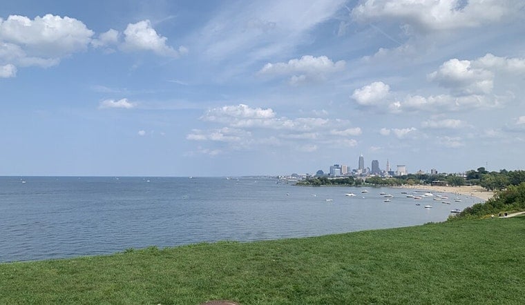
Beachgoers and mariners, however, will need to exercise caution as the National Weather Service has issued a Small Craft Advisory alongside a Beach Hazards Statement starting this morning and extending into the evening, with increasing winds and waves across Lake Erie; winds are expected to reach 20-25 knots across the lake, causing waves to build up between 5-9 feet in some areas, while nearshore conditions could see waves of up to 5-8 feet before they begin to decrease later today. The situation is expected to improve as we move into Friday, with lighter winds and reduced wave action.
Looking ahead to the weekend, don't put away the umbrellas just yet—the stalled cold front is due to lift back north as a warm front, bringing scattered showers and thunderstorms back into the forecast from Saturday through Sunday, with a "pseudo zonal" or slight west-northwest flow persisting, according to a weather report from the National Weather Service.
By early next week, a temporary respite is predicted as a weak area of high pressure builds in, but this will quickly give way to hotter conditions by Tuesday and Wednesday; we're talking temperatures heating up to the upper 80s and lower 90s, so it might be time to crank up those fans and air conditioning units, as the upper-level ridge of high pressure makes its presence felt across the Mid-Mississippi and Ohio Valley regions, leading to a possibility of more scattered showers and non-VFR (visual flight rules) conditions as the week progresses.


