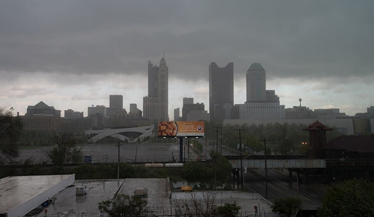
The residents of Columbus, Cincinnati, and the surrounding areas should prepare for an extended period of wet weather. According to the National Weather Service (NWS) Wilmington OH, a frontal boundary is expected to remain stationary over the region well into the weekend, increasing the probability for daily showers and thunderstorms. Along with the storms, the forecast predicts a pattern of seasonably warm and humid conditions that looks to continue with little reprieve.
An initial surge of isolated showers and thunderstorms is projected through early morning, primarily affecting the Tri-State and Miami Valley areas. The system moving in will allow for at least ISO SHRA/TSRA potential through daybreak, stated the National Weather Service. As the day progresses, the intensity and coverage of precipitation are expected to rise, especially east of Interstate 75. These conditions, combined with soil already saturated from previous rains, could renew flood concerns in localized areas.
Heavy rainfall is a particular worry, as the potential exists for rain rates exceeding two inches per hour within the heaviest thunderstorms. With PWs again surging above 150% of seasonal norms, any additional rain in areas that have already received heavy rain over the past few days may renew localized flooding concerns, the NWS outlined in their weather discussion.
Further complicating the forecast, Thursday's weather pattern indicates a more nuanced scenario of storm timing and location. Yet, the NWS predicts that the outcome will be remarkably similar, with widespread storms, predominantly south of Interstate 70, bringing the risk of heavy rains and potential flash flooding. The storms on Thursday may also present a heightened chance of gusty to isolated damaging winds, compared to earlier forecasts. The National Weather Service mentioned, with extreme instby (SBCAPE >=3000 J/kg) and a favorable LL thermodynamic environment, the potential for gusty to isolated damaging winds is higher on Thursday than it will be today.
The NWS has shared that they will remain vigilant, ready to issue a flood watch if needed. The long-term outlook through the weekend to Tuesday does not offer much solace, indicating a continuing pattern of unstable weather with several rounds of storms possible. For those taking to the skies, thunderstorms could again affect flight conditions through Sunday, prompting caution for aviation interests in the region.


