The weather in Honolulu is serving up a mixed bag over the coming days, as NWS Honolulu reports increased moisture and weaker winds will see temperatures feeling warmer than is usual until at least Monday. By mid next week, though, things are expected to shift with the trades strengthening up to breezy levels.
Residual moisture from a dissipated surface trough is expected to influence the weather across the Hawaiian Islands for the next few days. This could lead to moderate showers, particularly over and upstream of the Big Island and Maui—areas currently affected by drought. Satellite data and overnight soundings from Lihue and Hilo show precipitable water values between 1.4 and 1.8 inches, indicating a slight increase in rainfall is likely.
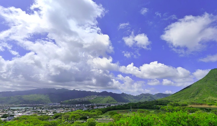
The current weather pattern is leading to the development of localized sea breezes in some leeward areas by midday, which "should lead to an increase of clouds and scattered showers this afternoon across interior and leeward areas," according to the forecast by NWS Honolulu. In locations where showers don't occur, higher humidity levels may result in a muggy afternoon. On the aviation side, gentle to moderate trade winds will prevail today, gradually strengthening through the week. Predominantly VFR conditions are expected, with brief MVFR possible in cloudier, showery periods.
Marine conditions are expected to follow a similar pattern, with high pressure northwest of the islands building northward and strengthening trade winds starting Tuesday. Boaters should monitor forecasts for a possible Small Craft Advisory around Maui County and the Big Island as winds increase. The Central Pacific Hurricane Center is also tracking Tropical Depression One-C, located far southeast of the state. While no direct impacts to Hawaii are expected at this time, forecasters will continue to monitor the system closely for any potential influence on local trade winds later in the week. Additionally, a south swell is forecast to arrive by mid-week, bringing increased surf to south-facing shores.
The fire weather outlook for Hawaii remains closely linked to current moisture levels and wind patterns. According to NWS Honolulu, "Trade winds are also expected to decrease some today, with localized sea breezes developing during the late morning through the afternoon hours." However, winds are forecast to strengthen again later in the week, accompanied by drier conditions. These changes may lead to elevated fire weather concerns in the second half of the week.


