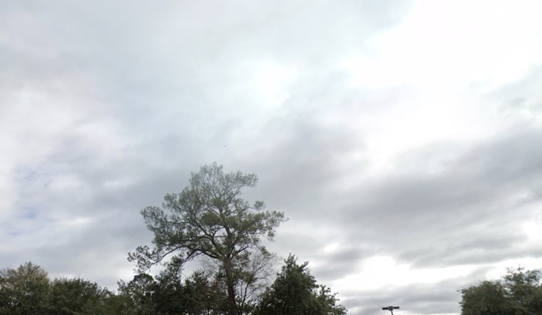
Houston residents will have scattered showers and possible thunderstorms today, following a holiday weekend with variable weather in Central Texas. The National Weather Service forecast indicates thunderstorms are likely between 1 p.m. and 4 p.m., with temperatures reaching up to 93 degrees and heat index values up to 103.
There are currently no active Flood Watches in the Texas Hill Country. The Weather Prediction Center has identified a marginal risk for localized flooding in the area. Rivers, which are receding to near pre-flood levels, remain vulnerable to rising again with any additional heavy rainfall, according to a report by FOX26 Houston.
The greater Houston area remains at risk as humid conditions and unstable weather patterns could bring scattered summer showers today and tomorrow. Forecasts indicate these storms may produce rapid rainfall amounts of 1 to 2 inches per day. Widespread flooding is not expected, but isolated street flooding may affect commuters.
The latter part of the week might bring a brief break from precipitation, with reduced rain coverage on Friday and temperatures potentially rising into the upper 90s. However, the weekend forecast indicates scattered storms will return. Despite recent weather variability, no tropical threats are currently present. "Chantal is now a post-tropical cyclone and moving into the Atlantic Ocean," confirms FOX26 Houston.


