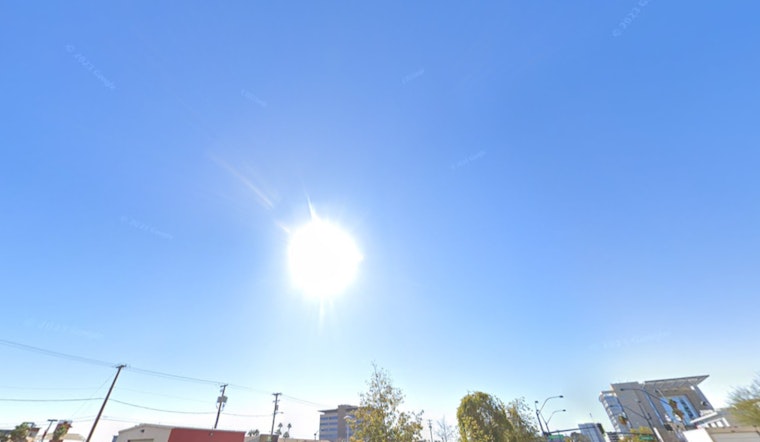
As Las Vegas braces for another week of climbing temperatures, the National Weather Service in Las Vegas has issued an advisory detailing what residents and visitors can expect from the weather in the coming days. A ridge from the southeast is influencing the weather patterns, bringing in warmer temperatures that are set to continue on an upward trend through next week, as reported by NWS Las Vegas.
Residents looking skyward will see little relief from the dry conditions that have held fast, due in part to a southwesterly flow that, pushing up the mercury, is anticipated to persist into the upcoming week. This flow is also responsible for ushering in smoke and haze from the Madre Fire raging in Southern California, now wending its way into Inyo County and southern portions of Nevada over the weekend.
The forecast from NWS Las Vegas indicates that mid-week might offer a slight reprieve from the escalating heat with the passage of a shortwave through the Great Basin. "A shortwave will move through the Great Basin around mid-week, which may cause temperatures to decrease a degree or two from Wednesday to Thursday as high-cloud cover increases and 500 mb heights decrease slightly," the service advises. However, this will be a temporary drop, as temperatures are expected to rebound later in the week, challenging the area with additional warmth as the weekend approaches.
Impacting flights in and around the valley, Harry Reid Airport is advised to expect winds that are elevated and intermittently gusty with southwesterly winds through early this evening. Gusts are projected to stay under 25KT while "sustained speeds drop to around 8KT early evening, with light and variable winds by daybreak Sunday," as the NWS outlook suggests, setting the expectation for VFR—visual flight rules—conditions to remain in place for aviators.
Across the wider region, incorporating southern Nevada, northwest Arizona, and southeast California, similarly gusty conditions are forecasted. These are anticipated to develop by mid to late morning with gusts reaching the 20-25KT mark. While gusts are set to diminish by the evening, the Western Mojave will likely face persistent winds through late evening. VFR conditions are expected to remain, allowing for usual aviation activities across the region.
Aside from forecasting the weather, NWS Las Vegas also places value on community contributions.


