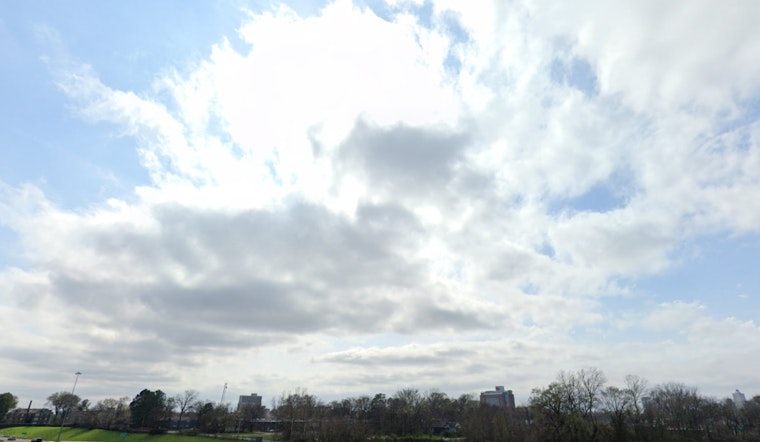
The National Weather Service in Memphis has provided an updated forecast for the area, indicating a mix of sunny skies and potential showers throughout the week. With today's humidity at a stifling 85% and temperatures set to soar near the mid-90s, residents should be prepared for a muggy stretch, according to the latest advisory. Heat index values are estimated to reach up to 102 degrees, reminding us that summer is in full swing, and the weather can be as unpredictable as it is oppressive.
While the day might start with a few deceptive clouds and a cooler morning temperature of 76°F, the NWS warns of a 50% chance of showers and thunderstorms developing after 1 p.m. These storms could produce rainfall amounts between a tenth and a quarter of an inch, with higher totals possible where thunderstorms occur. Tonight, the chance of rain drops slightly to 20%, and the clouds are expected to part somewhat, allowing the day’s heat to linger, with a low settling around 75°F and keeping the nighttime equally balmy.
The week ahead appears to follow the same pattern, featuring predominantly sunny skies in the morning, followed by an afternoon fraught with the possibility of thunderstorms. The NWS detailed forecast indicates that each day carries a chance of rain, with showers likely and potential thunderstorms brewing, making it essential for Memphians to plan around these weather interruptions. On Tuesday and Wednesday, citizens can anticipate an escalation in temperatures, with highs potentially cresting at 94 and 96 degrees respectively, and a lower, yet still present, probability of rain and thunderstorms after 1 p.m.
Relief from the heat remains unlikely, as the NWS expects nighttime lows to stay in the mid-70s. Each day is following a familiar pattern: mostly sunny mornings that may seem promising, followed by afternoon storms that bring lightning, thunder, or heavy rain. This daily weather shift is expected to continue.


