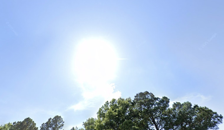
The National Weather Service in Memphis has issued a weather update indicating a potential for scattered showers and thunderstorms throughout the week. According to the NWS, today Memphis residents can expect a "30 percent chance of showers and thunderstorms, mainly between 2pm and 5pm." The city will also see mostly sunny skies with temperatures peaking near 93 degrees Fahrenheit and heat index values rising to as high as 106.
Tonight, the NWS reports that there is a "10 percent chance of showers and thunderstorms before 7pm," with the weather expected to clear up, bringing mostly clear skies and lows around 76 degrees. Winds from the south-southwest are forecast to remain light and gradually become calm later in the evening, coinciding with a decrease in daytime temperatures.
As the week progresses, the NWS predicts sunny days with climbing temperatures, urging citizens to prepare for highs nearing 96 degrees on Wednesday with heat index values up to 107. A "20 percent chance of showers and thunderstorms after 1pm" is also on the forecast. Wednesday night offers minimal relief with the low dipping slightly to around 77 degrees.
On Thursday, conditions are expected to heat up even further. The NWS projects a high "near 98" degrees, again advising of the possibility for late afternoon thunderstorms, which have a reported "20 percent chance of showers and thunderstorms after 1pm." Thursday night temperatures are forecast to remain around 77 degrees, with humidity levels continuing, indicating limited change from the daytime conditions.
Continuing the trend, Friday through Monday are shaping up to largely mirror the earlier part of the week. The NWS highlights a "30 percent chance of showers and thunderstorms after 1pm" for Friday and similarly slight chances for precipitation extending into the weekend. Daytime high temperatures are expected to stay in the mid-90s, indicating an extended period of elevated temperatures.


