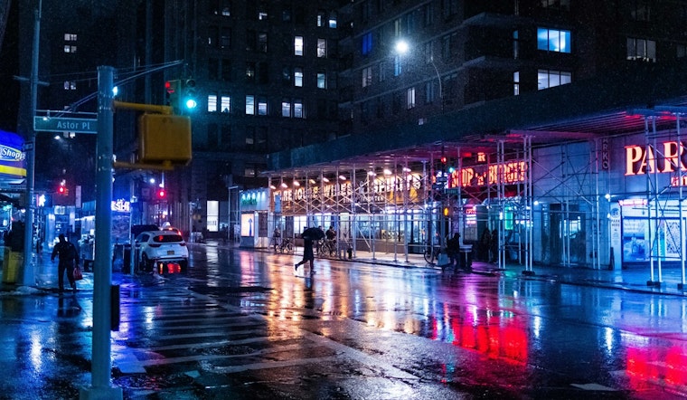
The National Weather Service issued a flood watch for New York City, effective from 2 PM EDT this afternoon through Friday morning. As rainfall continues to deluge the city, Manhattan, Brooklyn, Queens, the Bronx, and Staten Island have all seen similar weather forecasts, predicting chances of showers and thunderstorms which could lead to heavy rainfall, as per the Hazardous Weather Outlook by the NWS.
According to detailed forecasts, each borough is set to experience heavy downpours and potential thunderstorms today, with expected rainfall amounts ranging up to two inches in some areas. It's imperative to remain cautious, as the flood watch indicates that there is potential for flooding in regions, which can swiftly turn into hazardous conditions. As residents brace themselves for the deluge, the NWS warns for readiness against floods, a critical reminder as the city prepares to endure heavy precipitation.
The situation has placed a heightened focus on weather patterns across New York City's boroughs, as Manhattan, Brooklyn, and Queens are all projected to receive a significant amount of rainfall. Meanwhile, the forecasts for the Bronx and Staten Island follow suit with similar weather conditions expected.
Following today's storms, the weather is predicted to clear up, allowing residents to hope for a sunnier weekend. Friday Night, "Partly cloudy, with a low around 64. North wind 8 to 11 mph," says the forecast for both Manhattan and Queens, indicating that the tempest should begin to calm, paving the way for brighter skies. Continued vigilance is advised as even after the storm passes, the impacts of the torrential rains, especially in flood-prone areas, may linger.


