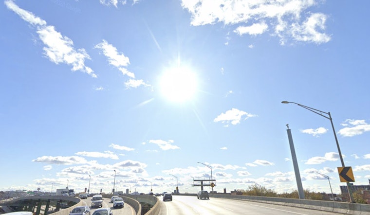
New Yorkers are bracing for a sweltering week ahead as temperatures climb to the high nineties, with the National Weather Service issuing a heat advisory for the city. Today's temperatures could soar up to 98 degrees in Manhattan, with a heat index making it feel like 104 degrees, according to forecasts from NWS. Similar conditions are expected across the boroughs with Brooklyn, Queens, The Bronx, and Staten Island all seeing high temperatures in the mid-90s.
Residents are advised to take caution and stay hydrated as the hazardous conditions are expected to persist. The heat advisory remains in effect until 8 p.m. EDT Wednesday, with an "Extreme Heat Warning" also issued for parts of northeastern New Jersey directly neighboring the city. "Please listen to NOAA Weather Radio or go to weather.gov on the Internet for more information about the following hazards," alerts the Hazardous Weather Outlook.
Tonight’s relief from the heat will be limited, with temperatures expected to remain in the upper 70s across the boroughs. The NWS forecast for Brooklyn calls for a low of 79 degrees, while The Bronx is expected to dip slightly lower to 78 degrees.
Looking ahead, New Yorkers can expect to potentially cool off slightly with coming showers and thunderstorms forecasted for midweek. A 40 percent chance of showers and thunderstorms is predicted mainly after 8 p.m. Wednesday night, stated both Queens and Staten Island. Poor air quality is also a concern, and the elderly, young children, and individuals with pre-existing health conditions are urged to especially remain indoors as much as possible.
Forecasts indicate a decrease in temperatures following the storms, with Thursday’s highs expected to reach the mid-80s. Conditions are projected to remain moderate in the following days, with the weekend forecast showing sunny skies and highs in the low 80s. This change marks a shift from the earlier extreme heat, as reported by the NWS.


