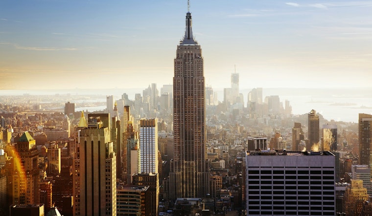
As we head into the final week of July, New Yorkers are bracing for a varied cocktail of sunny days and possible thunderstorms across the boroughs, punctuated with an ominous forecast of sweltering heat indices early in the week. Manhattan, Brooklyn, Queens, The Bronx, and Staten Island are all set to experience a mix of mostly sunny skies today, with thunderstorms lurking on the horizon for the evening.
The National Weather Service has not pinpointed any immediate threat for tonight, but the Hazardous Weather Outlook shifts as we move into next week. Statistically speaking, there's a 30 to 40 percent chance of showers come Wednesday night through Friday across the boroughs. Taking a step further into the week, the mercury seems ready to boldly surge as high as 97 degrees in Manhattan on Tuesday, a heat wave set to affect not just the city's core but its neighboring realms too.
Environmental implications aside, such capricious weather patterns are a hallmark of East Coast summers, and while today the residents can comfortably revel under an 87-degree sun in Manhattan or enjoy a slightly cooler 84 in Staten Island, caution is due as the week commences.
Early forecasts indicate potentially hazardous heat indices, ranging from 100 to 105F on Monday through Wednesday, as per the Hazardous Weather Outlook provided by the National Weather Service. However, spotters, those human barometers of street-level meteorology, are not expected to be called upon during this period, suggesting a less severe outlook than prior heat events that have beleaguered the city.
As the city prepares for high temperatures, residents are advised to stay alert and keep hydrated, especially those more vulnerable to extreme heat. With possible showers and continued hot weather expected, New Yorkers are encouraged to adjust their routines to stay safe at the start of August.


