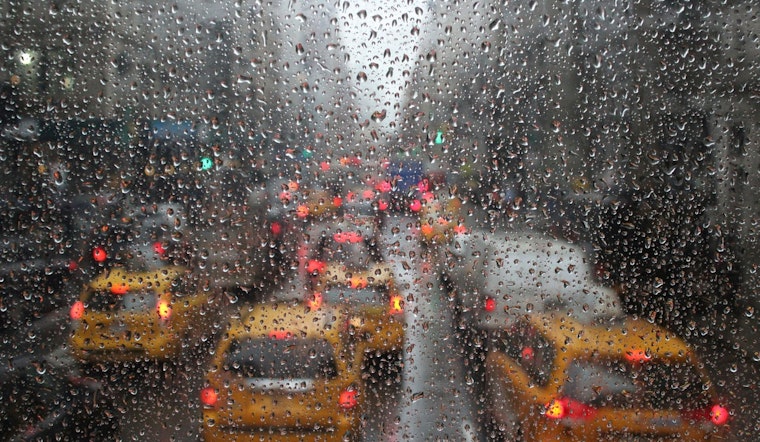
The National Weather Service has issued a detailed forecast across New York City's boroughs, with predictions of hazardous weather conditions. According to the forecast service's website for Manhattan, today's weather brings a 60% chance of showers and thunderstorms, with some potentially producing heavy rainfall and partly sunny skies with a high near 86 degrees.
In Brooklyn, forecasts include a 50% chance of showers and possible thunderstorms after 11am, transitioning to mostly cloudy skies and a low around 75 tonight. Similar patterns are seen in Queens, with a high near 84 today and a chance of showers and thunderstorms. Staten Island's weather outlook also mirrors this trend, predicting a 60% chance of precipitation and a high near 85 for today as found on their forecast page.
The Bronx forecast expects a slightly higher temperature today with a high near 87, and similarly warns of showers and thunderstorms that could produce heavy rainfall. The outlook into midweek for all NYC boroughs cites a continued chance of showers and potential thunderstorms, with the possibility of localized flash flooding as stated in a hazardous weather outlook from the National Weather Service.
Moreover, the hazardous weather outlook cautions that "localized torrential downpours late Monday morning through Monday evening" could provoke flash flooding. Across the board, all areas of NYC should anticipate a 30-60% chance of precipitation throughout the week, with respective nightly lows hovering around the mid-70s. Despite the prospect of rain, heat index values on Tuesday may traverse to almost 99-101 degrees, indicating a sweltering couple of days ahead.


