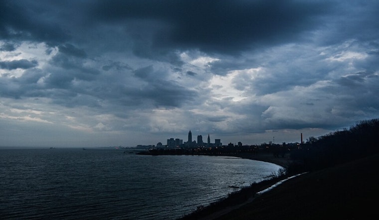
Ohio residents should brace themselves for an eventful weather weekend as meteorologists forecast a series of thunderstorms followed by a cooling respite early next week, according to the National Weather Service in Cleveland. The warm front cruising northeast through the area today is expected to stir up strong to severe thunderstorms starting late this afternoon into late evening—residents in northwestern Ohio are at a slight risk of severe weather, while a marginal risk hovers over the rest of northern Ohio and northwest Pennsylvania.
With the possibility of wet microbursts riding along with any organized storm clusters, "MLCAPE values between 1000 and 2000 J/KG" and "Shear will be marginal between 30 and 35 knots," are predicted by the National Weather Service, so keeping an eye to the sky and staying weather-aware between 5 pm and midnight could be particularly prudent. As the front that's bringing the heat today transforms into a cold front on Sunday, temperatures are set to drop, and there's potential for more bouts of stormy unrest closer to central Ohio, south of Highway 30. Temperatures hovering in the upper 70s to lower 80s should bring a welcome cool down.
Following the weekend's fervor, a pattern of high pressure is slated to dominate the area come Monday and Tuesday, providing a much-needed break from the rain and thunder. The National Weather Service informs us that the cooler, drier air moving in on Sunday night will usher in overnight lows in the upper 50s and lower 60s, and by Monday, we're looking at fair weather conditions with highs inching towards the 80-degree mark. Tuesday is expected to mirror Monday's pleasantness before the heat and humidity make a roaring comeback mid-week.
Anticipate high temperatures to soar into the upper 80s and potentially the mid-90s by the week's end, propelling the heat index perilously near the 100 to 104-degree range, alerting enthusiasts of summer that their season is far from over; "ridge riders" or minor disturbances could circumnavigate the upper-level ridge promising to either amplify or break the sweltering spell. Lake Erie mariners will also navigate shifting winds as the weather transitions from the weekend's tumultuous conditions to the relative serenity of early next week, with lake conditions remaining mostly below the three-foot wave mark. However, bursts of higher waves are possible.


.jpg)