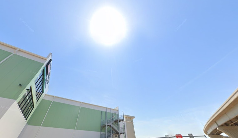
Phoenix residents can expect a week of intense heat ahead, according to the latest weather forecasts. In a report from the National Weather Service, temperatures are set to soar well above the century mark, underscoring a sweltering trend for the region. Today's high is expected to reach a scorching 109 degrees with calm winds in the afternoon, and the evening promising little respite with a low of around 87 degrees.
The upward climb in temps continue into the work week, with Monday's forecast showing sunny skies and a high peaking near 111 degrees. The evenings offer little relief, as temperatures are hardly expected to dip below the high 80s. Similar patterns of light winds in the afternoons and calmer breezes at night have been forecasted throughout the week.
Heat advisories are commonsense this time of year in Phoenix, and with Tuesday's high projected to be around 112 degrees increasing to around 114 degrees by Wednesday, residents should prepare for the likelihood of such warnings. Public health officials often stress the importance of staying hydrated and avoiding strenuous outdoor activities during peak heat hours in such conditions.
By Wednesday night, temperatures are expected to modestly decline to a low of around 89 degrees, as per the National Weather Service. The remainder of the week appears to mirror the preceding days, with Thursday and Friday highs anticipated to be near 111 degrees and 108 degrees, respectively. Though the nights are predictably less severe, lows hovering around 87 degrees offer nominal overnight cooling.
Those planning outdoor activities for the weekend should note that Saturday will likely persist with the sunny and hot pattern, with a high of about 109 degrees predicted. Throughout the period, winds should remain manageable, typically west at 5 to 10 mph. However, gusts on Thursday and Thursday night may reach up to 20 mph, providing only a slight and possibly welcome disturbance in the otherwise static heatwave condition.


