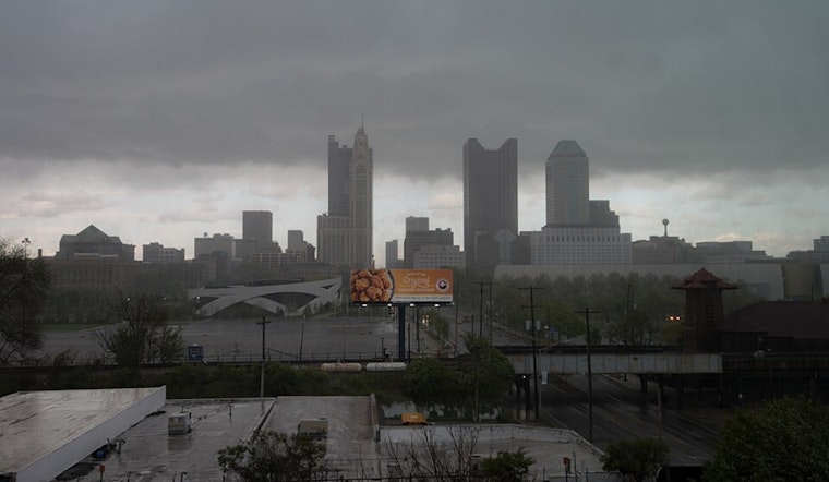
Residents across the Columbus, Cincinnati, and Wilmington regions should keep their umbrellas close and their weather apps closer. According to an Area Forecast Discussion by the National Weather Service, an "active weather pattern continues with thunderstorms possible at times through Monday." These are not your garden-variety showers; some of the storms carry "the potential to be severe over the weekend" and come with a side dish of heavy rainfall that could lead to flash flooding. The good news? Drier conditions are expected to sweep in by Tuesday.
In a game of atmospheric hide and seek, the morning started off with isolated thunderstorms in the southeastern parts, while a patchy, dense fog slid its way north, ensnaring some areas in less than clear conditions. Though the temperatures stayed relatively mild overnight—swinging from the low to middle 60s up north to near 70 down south—the weather is seeming to play a trick on us. While many are looking forward to the thunderstorms later in the day, the National Weather Service cautions that "the severe threat is conditional" and, if the storms develop, be prepared for the sky to bring damaging winds.
With Sunday gearing up for another round of climatic roulette, those in the southern half of the forecast area are looking down the barrel of "the potential for damaging winds." The roulette wheel of weather has pointed to heavy rain and flash flood potential. Humidity fans will be somewhat pleased as "lows tonight are expected to be in the low 70s with highs on Sunday in the 80s."
Looking toward the week ahead, the forecast, getting out of hand and like an overstayed guest, the storms are expected to clear out south of the Ohio River by Sunday night, sparing the early workweek of much interruption. By Tuesday, under the influence of a high-pressure system moving across the Great Lakes, a dry day is on the books, and by midweek, "heat indices will warm back into the 90s," despite lower chances for showers and thunderstorms. Aviation interests should note, though, despite likely improvements, "Thunderstorms are likely through Monday," and "MVFR ceilings are possible Sunday night into Monday," the National Weather Service advises.


