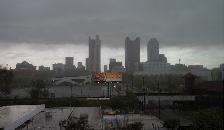
Residents in the regions encompassing Columbus, Cincinnati, and Wilmington are on alert as the National Weather Service forecasts an oscillating frontal boundary that could bring numerous showers and thunderstorms stretching into the weekend. According to the NWS, the area is in for a seasonably warm and humid pattern with a significant potential for heavy rain and possible flooding, particularly midweek through the weekend.
Today's weather started with mostly clear skies and the dissipation of the isolated rain from earlier, however, there's a chance for fog development, especially across the lower Scioto Valley into Northeast Kentucky, after some locales received considerable rain on Monday. The NWS's forecast discussion suggests this could necessitate at least a Special Weather Statement for parts of the region. As the afternoon progresses, scattered showers and thunderstorms are expected to develop, primarily in Northern Kentucky and the Tri-State area, with a chance of isolated flooding from brief and intense downpours. The overall potential for severe storms stays low, though gusty winds could accompany the strongest cores.
Over the evening and into tonight, storm activity is anticipated to taper slightly but not completely, as shortwave disturbances linger in the area. The NWS update indicates that scattered showers and thunderstorms may persist overnight and intensify into Wednesday morning, potentially affecting locations that have already experienced significant rainfall over the past few days, as the soil's capacity to absorb more water is challenged.
The outlook for the extended period through Monday indicates a sustained weather pattern, with a low-pressure system expected to track through the Great Lakes region, bringing another cold front on Thursday. This front could bring widespread thunderstorms and associated risks, such as damaging winds and heavier rainfall. The frontal boundary's southward journey casts some uncertainty for Friday, but models suggest that much of the action could focus along and south of the Ohio River. Meanwhile, residents along the I-70 corridor might experience slightly cooler temperatures, possibly remaining in the 80s.
While there's medium-level confidence in a brief respite from the storms on Friday night into early Saturday, moisture from the lower Ohio Valley is expected to bring yet more potential for thunderstorm activity later in the weekend. With a ridge forecast to build back northward early next week, it seems the region is in for an extended bout of unsettled weather without a clear end in sight. Travelers and inhabitants alike should remain vigilant for evolving weather conditions, particularly in terms of thunderstorm-related disruptions.


