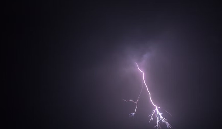
The National Weather Service in Denver has issued a Hazardous Weather Outlook for multiple counties in northeast and north central Colorado, cautioning residents about potential heavy rainfall and scattered thunderstorms. According to the National Weather Service, today's weather in Denver is shrouded by fog/mist with visibility narrowed to 2 miles, and humidity sitting high at 94%. The temperature is a cool 57°F (14°C).
After the fog lifts around 8 am, showers and thunderstorms are likely after noon, the NWS predicted, with the possibility of heavy downpours leading to localized flooding, particularly in areas with recent burn scars susceptible to flash flooding. Despite the precipitation, the high for today will be near 78°F, embracing mostly cloudy skies with light winds. Scattered showers and thunderstorms continue into the night, maintaining a 60% chance of precipitation.
The outlook extends through Labor Day, with a repetitive pattern of likely showers and thunderstorms, mostly during the afternoon and evening hours. The forecast anticipates that the weather pattern will remain stable, offering cooler temperatures throughout the week. Residents are encouraged to stay informed about ascending weather conditions, especially those planning outdoor activities.
For spotters looking to contribute to real-time weather monitoring, "Spotter activation will not be needed today or tonight," the outlook clarified. The upcoming days will harbor a weather scene, deemed “mostly cloudy” with daily showers and thunderstorms, a recurrent narrative for Coloradans in the week ahead. Climbing to highs near 81°F, daytime temperatures wed with bouts of moisture are set to draw a moist path through the weekend.


