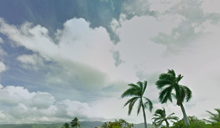
Honolulu residents and visitors should prepare for a significant weather change as the remnants of former Tropical Cyclone Gil are predicted to impact the state within the next few days. According to the National Weather Service - Honolulu, this will result in decreased trade wind speeds, increased humidity, and a higher likelihood of showers, particularly from Wednesday through Thursday.
This shift stems from a weakened high-pressure ridge north of the islands. As a result, the familiar pattern of windward mountain, lifting rainfall is expected to give way to a hybrid sea breeze pattern, which means increased afternoon showers, even in typically drier leeward areas. Specifically, the Kona slopes of the Big Island could experience "brief locally heavy shower activity," the NWS reports.
Trade winds are set to decrease today, as stable conditions maintain a hold, keeping showers and clouds at a minimum until the evening. However, a surge of tropical moisture brought on by the westward-drifting remnants of Gil is predicted to lead to an uptick in shower and cloud activity starting after midnight tonight. Aviation services expect no AIRMETS in effect until Wednesday, when mountain obscurations may become an issue as the moisture sets in.
Maritime conditions follow a similar pattern, with weakening trades due to a high-pressure movement to the northeast. Surfers should note that a High Surf Advisory is in effect until 6 PM HST this evening for south-facing shores across all islands, as south surf briefly fell below advisory levels earlier today. Also, the east swell from what was once Tropical Cyclone Gil, along with trade wind wave chop, is expected to "peak east-facing shore surf to near advisory levels today," according to the NWS forecast.
The fire weather outlook is a bit nuanced. Current humidity levels and diminishing winds could lead to elevated fire concerns, particularly along the upper regions of Haleakala on Maui and parts of the Big Island. However, as the remnants of Gil swing by, a significant increase in atmospheric moisture could temper these risks somewhat from tonight through Thursday. All eyes will then be on Tropical Storm Henriette, set to follow a similar path from Sunday into Monday, potentially exacerbating the weather disruptions once more.


