Traffic has resumed on Interstate 80 near Fernley this morning. Crews worked overnight to clear mud and debris that closed the highway’s westbound lanes at Derby Dam on Tuesday.
According to 2news.com, a mudslide impacted both directions of I-80 between Fernley and USA Parkway, with westbound lanes completely closed. The Nevada Department of Transportation worked on scene to clear the mud and debris. The closure lasted several hours overnight before crews successfully cleared the roadway.
Historic Location Faces Modern Weather Challenge
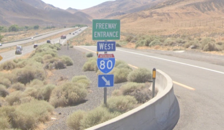
The mudslide occurred at Derby Dam, a historically significant structure that sits at Exit 36 along I-80. As detailed by Wikipedia, Derby Dam is a diversion dam built from 1903 to 1905 on the Truckee River, located about 20 miles east of Reno in Storey and Washoe counties. The dam was the first project of the newly organized U.S. Reclamation Service, now known as the U.S. Bureau of Reclamation.
As reported by the National Park Service, construction began on October 2, 1903, and was completed in May 1905. The dam diverted water from the Truckee River basin through a canal to a reservoir on the Carson River, 32 miles to the south. The Newlands Project provides irrigation water for about 73,000 acres of cropland in the Lahontan Valley near Fallon, Nevada, and bench lands farther west, near Fernley.
Regional Weather Pattern Brings Flooding Concerns
The mudslide incident comes amid broader severe weather affecting the region. As detailed by 2news.com, severe storms hit western Nevada with flooding, lightning, hail, and mudslides. Earlier on the same day, a mudslide near Floriston temporarily closed a portion of I-80 near the state line before reopening.
A Flash Flood Watch remained in effect through 10 p.m. on Wednesday for much of western Nevada and parts of northeast California, bringing slow-moving thunderstorms with widespread heavy rain, hail, lightning, and flash flooding. The National Weather Service in Reno issued the watch for the Greater Reno–Carson City–Minden area, the Tahoe Basin, northeast California, and Mono, Mineral, and southern Lyon counties.
Historical Flooding Context
The Derby Dam area has a complex relationship with water management and flood control. The National Weather Service says major floods in the region usually happen when heavy rain combines with warm temperatures, causing rapid melting of the Sierra Nevada snowpack in what is known as a pineapple connection.
In terms of river flow records, December 1955 holds the record flood on the Truckee River at Reno with 20,800 cubic feet per second, and was the second largest flood on the East Fork Carson River. The devastating 1997 floods were particularly destructive, closing the Reno-Tahoe Airport, I-80, and U.S. Highway 395 for two days.
Current Conditions and Traffic Impact
While westbound I-80 has fully reopened, the Nevada Highway Patrol and NDOT continue monitoring conditions in the area as the weather system moves through the region. While the region faced severe storm impacts this week, drier and calmer weather is expected to return Thursday and continue into the holiday weekend.
Areas with higher flash flood risk include urban centers, burn scars, and low-lying terrain—particularly near the Davis, Conner, Bear, Mill, Inn, and Tamarack burn areas. The interstate closure and subsequent cleanup operation highlight the ongoing challenges that extreme weather events pose to Nevada's transportation infrastructure, particularly in areas where geography and hydrology create natural bottlenecks for both water flow and vehicle traffic.


