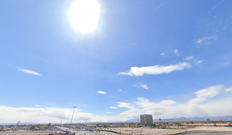
Las Vegas residents and visitors looking to bet on the weather for the Labor Day weekend might want to wager on heat and dry conditions, with a twist of potential moisture as the week progresses. According to the National Weather Service Las Vegas NV, which released its forecast early this morning, the region is set to experience a rise in temperatures, possibly peaking tomorrow. This increased heat could present Moderate to Major HeatRisk, especially in the lower valley areas of southern Nevada and Death Valley.
For those angling to escape the city's scorcher for a flight out, airport conditions appear favorable. The NWS stated that the winds today and tonight will be similar to what occurred yesterday, and VFR conditions will persist through the period with just a few mid-level clouds developing around the Las Vegas Valley this afternoon. While the heat is expected to intensify, with the thermometer potentially hitting highs around 103°F in the afternoon, there's no immediate sign of stormy interruptions for your pit stop at Harry Reid airport.
"Looking ahead, a looming shift in the weather pattern may bring monsoonal moisture into play by mid-week. As reported by the NWS, an area of low pressure will develop off the West Coast early in the week, which will gradually move inland. The resulting influx is expected to introduce an increasing chance of showers and thunderstorms each afternoon throughout southern Nevada. Potential rainfall, however, comes tethered to the threat of flash flooding and strong outflow winds, cautioning residents and travelers alike to stay alert for sudden changes in weather conditions.
For those with a keen eye on the skies – aviators and sky watchers – the outlook is clear for smooth sailing through tomorrow morning across much of southern Nevada, northwest Arizona, and southeast California. Pilots navigating the Owens Valley should brace for breezy southeast winds with gusts of 15-20KT expected. Yet, the warm and stable air mass will likely hold steady, staving off precipitation chances until the week's progression beckons more moisture and variety in the desert's atmospheric canvas. With the coastal low pressure system drawing nearer, the NWS is actively encouraging local spotters to report any significant weather occurrences, emphasizing community involvement in weather monitoring.


