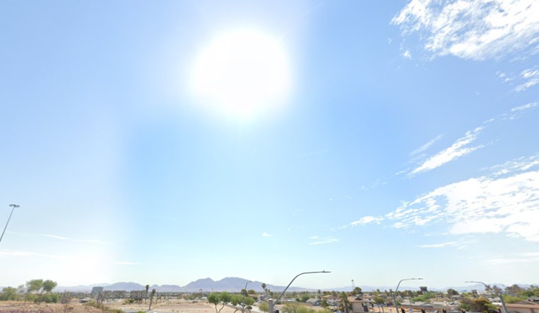
The National Weather Service in Las Vegas has released its latest forecast, signaling a warm and dry weekend for the region, with near to above normal temperatures expected through the days ahead. However, there's a hint of change in the coming week, as monsoonal moisture is anticipated to slide back into the picture, bringing potential showers and thunderstorms. This weekend, high pressure is going to firmly establish over the area, maintaining the dry spell and ushering in warmer temperatures, as per the forecast from NWS Las Vegas.
According to the NWS, with high pressure building over the region, temperatures are expected to climb, giving Las Vegas about a 75% chance of reaching 100°F today and nearly a 100% chance on Sunday and Monday. However, as an area of low pressure off California’s central coast begins to displace the high-pressure system, a gradual return of monsoonal moisture is anticipated by Tuesday.
Those hoping for some rain will find solace in the forecast later next week when conditions become more conducive for thunderstorms, primarily over the southern half of the coverage area. Relative humidity levels are expected to rise to about 130 to 170 percent of normal for this time of September. A more favorable pattern will develop Wednesday through the end of the week with thunderstorm chances increasing over the southern half of the CWA, the NWS notes, likely to bring a welcome relief from the persistent dryness.
For aviation interests, the forecast from the NWS suggests light, predictable winds with occasional gusts in certain areas and continued visibility reductions in the Owens Valley due to smoke from the Garnet wildfire. The conditions are anticipated to remain largely VFR through tomorrow morning. Notably, the wind direction at Bishop Airport (KBIH) remains less predictable later today, however, "speeds should remain under 10KT" no matter the direction, ensuring little disruption for flights. Meanwhile, the temps are forecast to rather quickly dip under 100°F by the early evening, signaling slightly more pleasant evenings despite the day's dry heat.
Lastly, weather enthusiasts and spotters are encouraged by the NWS to report any significant weather phenomena or impacts as they occur, presumably to better inform subsequent forecasts and ensure community safety.


