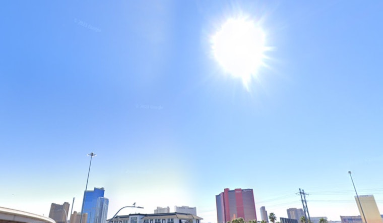
Las Vegas and its surrounding areas are bracing for another wave of extreme heat, with the National Weather Service (NWS) in Las Vegas issuing continuations of Extreme Heat Warnings and Heat Advisories through this evening. In a forecast discussion released early this morning, NWS emphasized that although temperatures are expected to cool down next week, the region will see temperatures 6 to 12 degrees above normal today. This persistent heat will keep the HeatRisk high despite a slight decrease in afternoon temperatures.
Residents looking to catch a break might sadly have to wait a little longer. The presence of debris clouds, stemming from storms in Arizona, is likely to limit the amount of daytime heating — and thus instability — especially across the central parts of the forecast area. Such weather conditions could likely result to cause convective activity to favor the region's fringes. The chances for showers and thunderstorms will carry on into next week as the area continues to deal with lingering moisture. The main concerns associated with these potential storms, according to the NWS, include strong outflow winds, moderate-to-heavy rain, flash flooding, and frequent lightning.
Looking at aviation weather, pilots at Harry Reid can expect a multitude of debris clouds passing overhead, which may delay the onset of thunderstorms today. "Storms could fire on the mountains as early as noon, but the better chances for anything to affect the terminal should hold off until late afternoon (if it occurs at all)," the NWS indicated in their aviation forecast. While gusty winds are the primary concern, there's also a possibility of heavy rain and lower ceilings disturbing the airport operations. The NWS forecast suggests a similar pattern for tomorrow, with an increased chance of mountain storms around midday.
Regarding spotter activities, the NWS is calling on weather spotters to be prepared to report any significant weather or impacts. With the forecast extending into next week showing the potential for more widespread showers and thunderstorms, especially around mid-week, those reports could be vital in keeping communities safe and informed. Echoing the official statement, the NWS continues to encourage spotters "to report any significant weather or impacts according to standard operating procedures." For those living in Las Vegas and the surrounding regions, it seems the scorching heat and menacing storms are set to leave their mark for days to come.


