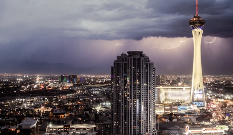
The National Weather Service in Las Vegas has provided an updated weather forecast outlook, suggesting that while scattered thunderstorms are likely today, especially across Inyo County and central Nevada, we can expect a dry spell with above-normal temperatures as the weekend approaches. In a report published earlier today, remnants of Tropical Storm Juliette were highlighted as the cause of current conditions. Still, they are expected to dissipate soon, leaving much of the area under mostly sunny skies. "Instability has remained rather weak due to the thick cloud cover so anything more than just a few light to moderate showers is not expected through this morning. This morning will continue to stream north this morning" was stated in the report obtained by the National Weather Service.
Despite recent moisture, the forecast now points to drier air and rising temperatures. By Sunday, conditions are expected to warm above normal as high pressure returns to the region. Thunderstorm chances look limited, with only northern Lincoln County seeing a slight risk due to slightly higher CAPE values. "Still, any thing that does develop will be fairly isolated and generally weak," the National Weather Service said.
As we head into next week, don't expect much relief from the arid conditions – at least not initially. Previous predictions of persistent moisture in ensemble runs have dried up, but according to the latest data, we might see a resurgence of monsoonal moisture by the middle of next week, with the potential uptick in thundershowers around Wednesday. "The latest ensemble runs are showing that PW will rise to around 120-150 percent of normal by Wednesday," informed the forecast discussion.
Aviators in the region will be pleased to note the departure of Juliette's remnants, with east to northeast winds expected to stay tame below 10 knots throughout today. As for visibility concerns, the only minor nuisance is smoke from the Garnet wildfire, still filtering into Owens Valley and potentially affecting the clarity this evening and tonight. "Smoke from the Garnet
wildfire burning on the west side of the Sierra will continue to filter into the Owens Valley and is expected to occasionally impact surface visibility this evening and tonight," National Weather Service predicts the forecast.


