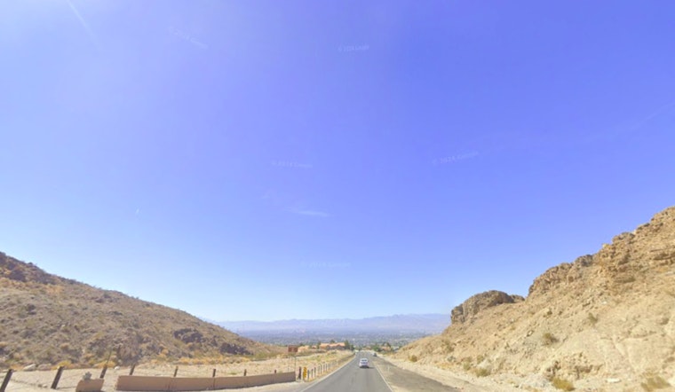
The National Weather Service in Las Vegas is advising residents to brace for breezy conditions and single-digit humidities, intensifying fire dangers across the region. According to their Area Forecast Discussion, the troubling weather phenomenon is due to a trough moving through the Intermountain West, ushering in strong west-southwesterly winds this afternoon. The wildlife risk is particularly high in northern Mohave County, with fire spreads anticipated to escalate due to the low humidity and wind factors.
According to NWS, while the risk is sidestepping the threshold for a Red Flag Warning, authorities have not ruled out the possibility, stating, "Will continue to monitor the winds today to determine if a short-fused warning will be necessary or not." Apart from the wildfire caution, residents are asked to avoid outdoor burning and be vigilant with potential fire triggers like dragging vehicle chains or improperly disposed cigarette butts. This advisory stems from predictable gusts across the area that can lead to inadvertent ignitions amidst the arid conditions.
It's not just fire dangers that the NWS Las Vegas forecast highlights; residents should also prepare for above-normal temperatures, expected to soar through the beginning of next week. "Temperatures peak on Tuesday, with widespread 'Moderate' HeatRisk expected on Tuesday, with 'Major' expanding to the desert valleys," the weather service warned. The unusually high temperatures necessitate precautions such as checking on neighbors vulnerable to heat and adjusting outdoor activities to cooler times of the day.
Meanwhile, aviation interests in the region are poised for impact as well. "Winds will once again become gusty out of the southwest by early afternoon, with speeds 15-25 knots expected," detailed the NWS, suggesting potential disturbances for flights. The forecast also notes that the smoky conditions resulting from Gifford Fire's vast devastation—over 104,000 acres—could affect visibility, though significant reductions below 6SM are not expected to be widespread.
As usual, the NWS encourages spotters to report any noteworthy weather or impacts as the conditions unfold. Residents and travelers alike are thus advised to stay abreast of updates, particularly if planning to traverse through smoke-afflicted or wind-affected corridors. Keeping apprised of such developments can be critical, especially when fire threats loom large and temperatures threaten to reach disturbing highs.


