Residents in Minneapolis and surrounding regions are advised to brace for a volatile mix of weather conditions this week. According to the National Weather Service, today's forecast includes a chance of showers and thunderstorms before 1pm, followed by a potential resurgence after 4pm. Increased cloud coverage is expected with an easterly wind blowing at 10 to 15 mph, and a 50% chance of precipitation throughout the day.
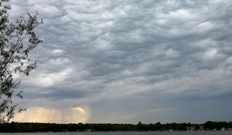
Further details provided by the Hazardous Weather Outlook indicate that the evening could bring severe thunderstorms, particularly during the afternoon and into the night. Conditions are set to deteriorate with likely showers and possible thunderstorms after 1am, which have the capacity to quickly generate heavy rainfall. The impending system, moving in from the southeast at around 10 mph, puts the chance of precipitation tonight at a solid 70%, with new rainfall tallies reaching between three-quarters and one inch.
As the week progresses, Monday's outlook shows a dip in storm activity, with a 40% likelihood of showers and thunderstorms mainly before 1pm, then partial sunshine. The temperature is set to peak near 84 degrees, with the southeast winds shifting westward in the afternoon. Nighttime will see partly cloudy skies and a low around 66 degrees. Moving into Tuesday, the weather is predicted to be partly sunny with a high around 78 degrees, and by Wednesday, residents can expect a break from the rain with sunny skies and a high near 81 degrees.
The remainder of the week, from Wednesday night through Saturday, should bring a reprieve, as far as severe weather is concerned. The forecast suggests mostly clear nights followed by sunny days with climbing temperatures that promise a more peaceful weather pattern. Despite the current turbulence, the city can thoroughly enjoy pleasant summer conditions with a steady northwest breeze as we head towards the weekend.


