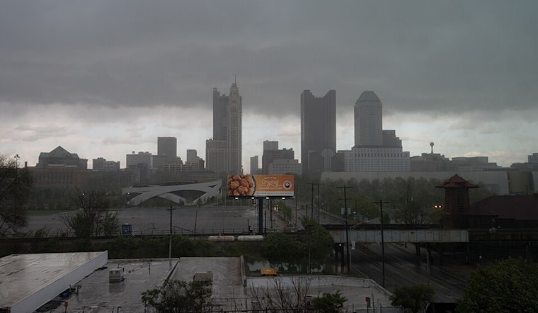
Residents across Ohio, you might want to keep those umbrellas handy. The National Weather Service has issued a forecast highlighting a sticky combination of warm and humid conditions that could bring showers and storms all the way through Tuesday. But before you curse the skies, remember that a silver lining comes in the form of a cold front on Wednesday, bringing widespread showers and storm coverage, as well as a much-needed dip in the thermometer for the latter half of your workweek.
Trying to pin down those elusive convection patterns is a bit like capturing smoke with your bare hands. The weather folks at the NWS have their hands full addressing uncertainties due to Indiana's current storm activities, which may lead to a ‘grungy airmass’ moving into parts of Ohio later this morning. But don't let that cloud your plans, because while parts of Southeast Indiana and Northern Kentucky could see rain, as told by the National Weather Service, most of us might dodge that watery bullet.
Any rain-lovers out there might feel slightly disappointed; despite the muggy blanket overhead this Sunday, it seems most storms will give a wide berth to the urban hubs of Cincinnati and Columbus, instead favoring the regions further West and Southwest. For the detail-oriented among you, isolated, or 'ISO' in weather speak, activity might creep into the western third of local areas toward daybreak, according to the experts at the National Weather Service.
As we roll into the nitty-gritty of the mid-week, a touch of drama arrives in the form of a ‘backdoor cold front.’ This meteorological maneuver promises slightly cooler temps and a reprieve from rain, but keep those weather apps at the ready; it's pushing north by Monday night, setting the stage for higher dewpoints and a Tuesday warmer than your Monday felt. And when you're lying awake Tuesday night, don't be surprised if the pitter-patter of rain acts as nature's lullaby; our friends at the NWS Wilmington suggest this could be the main event for stormy weather, with potential for severe weather, albeit mitigated by its nocturnal timing.


