Orlando residents should brace themselves for another wave of sweltering heat and frequent storms as forecasted by the National Weather Service Melbourne FL. The agency's Area Forecast Discussion, released at 706 AM EDT on Monday, August 4, 2025, indicates Heat and humidity continue for the next few days, especially Tuesday, with Moderate to Major HeatRisk impacts lasting through the first half of the week.
The forecast also warns of a "Moderate risk of rip currents" at area beaches, urging beachgoers to swim near lifeguards and heed thunderstorm warnings. As the humid air persists, daily shower and storm chances are expected to peak in the afternoon and evening hours. These conditions are not only prone to disrupting outdoor activities but also bring the potential for gusty winds, localized flooding, and frequent lightning strikes, as described in the report.
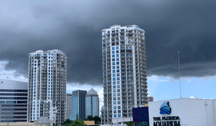
Concerning urban impacts of the ongoing storms, the forecast discussion emphasizes that high rain rates that produce a quick 1-3" of rainfall will make urban and suburban locations more susceptible to minor street flooding and ponding of water in low-lying areas. Residents in affected areas can anticipate the typical consequences of such downpours, including delayed commutes and disrupted daily routines.
Looking ahead, as a disturbance approaches the area late in the week, Orlando can expect above-normal rain chances. The disturbance mentioned will only add to the unsettled patterns experienced, bringing with it additional clouds and the likelihood of more showers. Though this may offer a brief respite from the searing heat, with temperatures settling closer to normal for this time of year, "Above normal rain chances are forecast late in the week," the report informs.
The aviation community is also on alert with the current weather scenario, as isolated thunderstorms could form as early as the sea breezes develop. Aviators are advised to keep an eye out for sudden amendments to weather forecasts, which could potentially affect flight plans.
In summary, the message from the National Weather Service is clear: locals should prepare for a mix of oppressive heat intercut with significant shower and storm activity throughout the week. Vigilance and preparedness are the keys to navigating this spell of classic Floridian summer weather.


