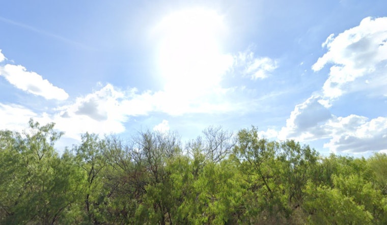
The heat wave in San Antonio shows no sign of letting up as temperatures continue to hover around the century mark. According to the National Weather Service, the city can expect "mostly sunny and hot" weather today with a high near 101 degrees and "heat index values as high as 105." Light winds from the south southeast are anticipated throughout the day.
Tonight, residents can expect the warmth to persist with a forecast of "partly cloudy" skies and a low around 78 degrees, coupled with southeast winds moving at 5 to 10 mph. The weekend forecasts includes "a slight chance of showers between 1pm and 4pm, then a slight chance of showers and thunderstorms after 4pm" tomorrow, as per NWS. Despite the possibility of precipitation, the high is expected to be again near 100 degrees, with continued high heat index values.
For those planning outdoor activities this Labor Day weekend, weather patterns suggest carrying an umbrella might be a wise choice. The likelihood of showers and thunderstorms increases on Sunday, with the National Weather Service predicting "a slight chance of showers, then a chance of showers and thunderstorms after 1pm" and a 50 percent chance of precipitation Sunday night.
Labor Day itself could bring some relief in the form of "showers likely and possibly a thunderstorm before 1pm, then a chance of showers and thunderstorms after 1pm." Temperatures are expected to be slightly cooler, with highs near 91 degrees, though still warm for this time of year. The coming week continues with this trend, offering "a slight chance of showers" and thunderstorms into Tuesday, with highs hovering in the mid-90s, as per National Weather Service.
Residents are advised to stay hydrated and take necessary precautions to avoid heat-related illnesses. The consistent high temperatures and sporadic chances of thunderstorms create an unpredictable mix that will affect the area for the next several days. Evening conditions offer little respite, with lows in the mid-70s to high 70s expected throughout the week.


