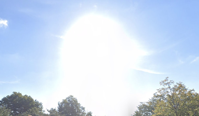
As New Yorkers gear up for a warm week ahead, forecasts across the city indicate mostly sunny skies, with temperatures climbing into the low 90s. The National Weather Service reports that Manhattan is set to reach a high near 90 degrees today, with similar conditions expected through Sunday. Even at night, the warmth will linger, with lows settling comfortably between the upper 60s and mid-70s.
In a similar forecast, Brooklyn is expected to see comparable conditions, with today's high nearing 87 degrees and clear skies continuing through the week, according to the NWS. A south wind at 5 to 10 mph, shifting slightly in the afternoon, is forecast to persist into the evening. Over the weekend, temperatures are projected to decrease slightly, with highs in the mid-80s.
Queens residents can expect similar sunny conditions, with the NWS forecasting a high near 88 degrees today. The rest of the week is expected to follow a pattern similar to that of neighboring boroughs. By Wednesday afternoon, the chance of precipitation rises to 40 percent, bringing the possibility of showers and thunderstorms.
Meanwhile, The Bronx is forecast to reach a high of 90 degrees today, aligning with conditions expected in Manhattan, with nighttime temperatures around 69 degrees. Staten Island is expected to experience similar weather, with the NWS predicting sunny skies, daytime highs in the mid-80s, and nighttime lows within a comparable range.
Despite the warm and mostly clear forecast, a Hazardous Weather Outlook released by the National Weather Service early Monday indicates that New York City is not anticipated to experience any hazardous conditions that would meet warning criteria in the upcoming week. "No hazardous weather is expected at this time," the bulletin states.


