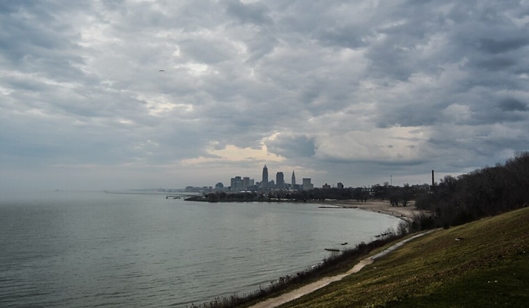
Cleveland's recent weather pattern has been dominated by a high pressure ridge clearing its way toward the Northeast United States coast, but the calm is set to shift. According to the National Weather Service in Cleveland, residents should brace for a change as a cold front is expected to sweep through the region early this afternoon through early evening. Along with this transition, a trough will loom over Lake Erie throughout the weekend, influencing the weather with below-normal highs and potential lake-effect rain showers.
Today's anticipated front passage, reportedly dry, seems to confirm that ample sunshine and warm air ahead of the front will push temperatures to the mid 70s to lower 80s. But don't get too comfy in those summer clothes; notable cooling is on the horizon post-frontal passage, as stated by the National Weather Service. In the early morning hours, several areas in north-central Ohio and particularly northeast Ohio and northwest Pennsylvania were shrouded with dense fog, impacting visibility and travel, but this annoyance should lift as the day progresses.
For those with their sights set on the near-term forecast through Saturday, it includes a mixture of light and scattered rain showers, especially along and east of I-71. Coupling with the already cool temperatures, "a band of lake-effect rain showers, heavy at times," is expected to form and traverse over much of Lake Erie and into western New York late Saturday morning through sunset on Saturday evening, further stated the National Weather Service.
Maritime conditions are equally stirred with Small Craft Advisories and Beach Hazards Statements in place for a portion of Lake Erie, as winds are predicted to kick up with gusts in the 20 to 30 kt range by this afternoon. The Sefcovic-led forecast from the National Weather Service indicates potential low water levels along Lake Erie's western basin due to the strong southwest flow. Boaters and beachgoers should take heed of these advisories intended to ensure safety and avoid navigational hazards.
As we move into the coming week, the lingering effects of lake dynamics will continue to be a feature with lake-effect rain showers. However, a slight respite is expected by Monday as high pressure sets in, leading to more settled marine conditions and milder late afternoon highs in the 70s. Nevertheless, fair weather shouldn't be taken for granted. A shortwave trough and another cold front are on deck to sweep through the region come Wednesday night, but they are at present projected to pass with little fanfare and without significant rainfall, rounding out the forecast period with more stable and cooler weather into Thursday.


.jpg)