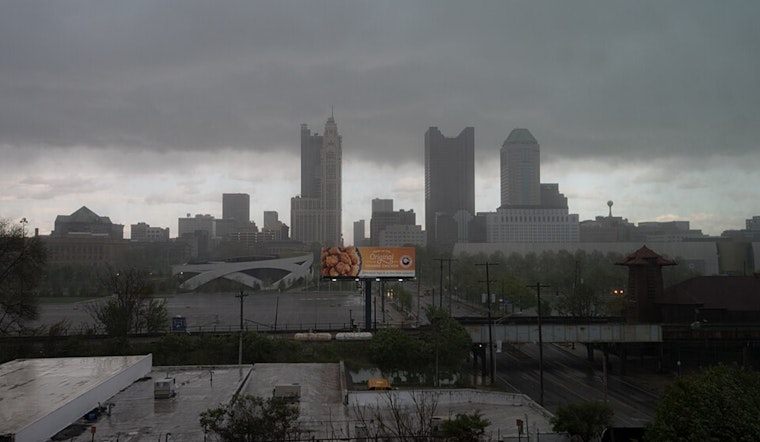
The National Weather Service in Wilmington, Ohio, has forecasted a spate of weather changes for regions including Columbus, Cincinnati, Wilmington, and beyond. In what looks like a typical ebbs and flows of Midwestern weather, they’re expecting an uptick in moisture today as high pressure takes a backseat, making way for a few potential showers and maybe a thunderstorm this afternoon. But keep those umbrellas handy—there's a good chance of rain heading our way overnight into Thursday morning, courtesy of a cold front sweeping across the region.
For those in the "Near Term" window, which is National Weather Service speak for basically right now until tonight, you can expect conditions to stay mostly dry during daylight hours, as per the forecast. But if you're in the east-southeast counties, keep an eye out early to mid-afternoon for some possible showers or an isolated thunderstorm, though without much concern for severe weather. The temperature in this mild southerly flow should hit the lower 80s.
Shifting into the "Short Term," or Thursday for us laymen, the weather dance continues as the cold front aligns along western Ohio by the wee hours of the morning. It's expected to hustle its way east, taking showers and storms along for the ride. While the event might dampen the ground with a quarter to half an inch of rain. As the front bows out, temperatures will flip the script, falling to the upper 60s northwest and lower 70s southeast by Thursday's end.
For the aviation crowd, it seems clouds and visibility may get a bit ornery. While VFR conditions are expected shortly after sunrise, later in the evening, things might shift. Come late tonight, these weather aficionados are anticipating precipitation developing late tonight with some embedded thunder due to elevated marginal instability. This could mean MVFR to IFR ceilings and possible visibility issues on Thursday morning.
Looking down the road, the "Long Term" forecast—which in our real-time languaging means Thursday night through Sunday—has a broad trough over much of the eastern U.S. setting the stage for a cool-off. Highs will hover in the mid-70s to 80s on Friday. A brief curtain call of showers and, if you're lucky, an isolated thunder clap, might come through Friday night into Saturday. Subsequently, temperatures will take another plunge to the upper 60s or lower 70s to close out the weekend. As surface high pressure slides east Sunday into Monday, you can expect a slight warming trend.


