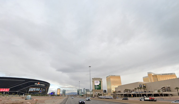
Las Vegas is bracing for its last waltz with monsoonal moisture today, as National Weather Service predictions signal a gradual drying up and a cool down headed our way next week. According to the National Weather Service Las Vegas NV, the remnants of tropical storm Lorena continue to drench the region, particularly across Clark and Mohave counties, where Precipitable Water (PWAT) levels are hitting between 1.25 and 1.75 inches.
Early risers today were greeted by strong multicellular storms, punctuated by impressive gusts reaching 30 to 40 mph and a generous serving of lightning. But don't sleep on this afternoon's forecast; there's another convective encore expected around 18Z. The dance begins in the high terrain, and then the valleys will join in. Winds spurred by storm outflows, brief heavy downpours, and even some hail could make appearances before the night is over. There may be more isolated thunderstorms tomorrow, though they're expected to be lighter and less widespread.
Looking ahead, a significant shift is coming our way. A deep, early-season trough is slated to slide eastward and reach the West Coast by Tuesday. This movement will usher in drier air, which will coincide with a decrease in atmospheric heights, bringing with them a drop in temperatures through Thursday. Highs should be 5 to 10 degrees below average by Wednesday, which means highs in the low 90s in Las Vegas, reads the forecast discussion from the NWS.
In the meantime, aviators flying via Harry Reid International should prepare for sporadic gusty conditions. Light easterly winds are expected to prevail, before another round of thunderstorms takes center stage this afternoon into early evening. Erratic gusty winds, lightning, and brief MVFR/IFR conditions in heavy rain can be expected in the vicinity of any storms, as stated by the NWS. After sunset, storm activity should taper off, though there's less certainty about overnight showers.


