As the remnants of what once was Tropical Storm Mario inch closer, the National Weather Service's latest forecast for Las Vegas outlines a notable shift toward wetter conditions. Warm and dry days are numbered with the likelihood of showers and thunderstorms increasing from tomorrow night into the weekend. Spotters across the region have been put on alert to report any significant weather changes.
While the NWS warns of potentially heavy rainfall, particularly on Thursday and Friday, confidence in issuing a Flash Flood Watch remains low. According to the forecast, there is not yet enough confidence in the details to issue a watch, though one may be needed later today or early tomorrow morning if model trends continue. The anticipated impact appears to be on the heavier side, with the desert and mountain areas expected to receive more rainfall than previously estimated.
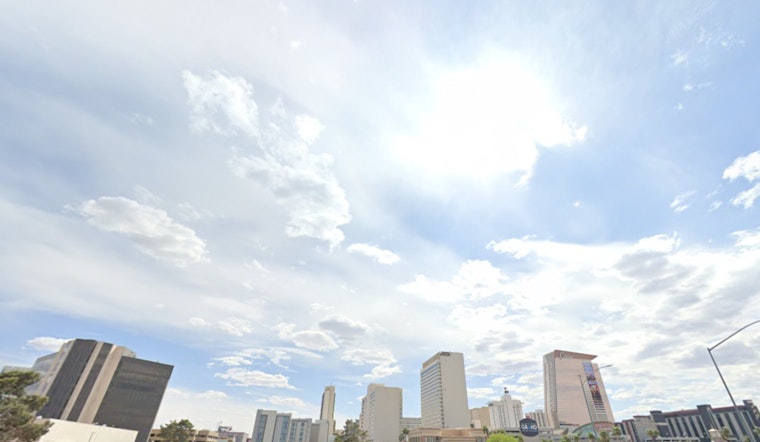
Aviation forecasts for Harry Reid International Airport suggest relatively calm conditions, with winds following typical diurnal patterns and gusts anticipated in the late afternoon to early evening. Pilots will be navigating through increasing high clouds from tomorrow onward as this tropical moisture makes its presence known. The forecast indicates that temperatures will mercifully stay below the century mark, offering a small respite from the intense heat characteristic of the region.
For those outside the Las Vegas Valley, the meteorological script reads similarly. The forecast, citing consistent winds with some areas like KDAG bracing for gusty conditions post-sunset, dictates a level of caution. An overarching theme in the region's weather narrative – one marked by a transition from clear and calm to the potent potential for precipitation with unstable air not being quite dead yet as moisture surges northward. The increased cloud cover is expected to roll in around sunset tonight, with its expansion and density growing through the rest of the week. Weather spotters will continue to play an important role in monitoring these changing conditions.


