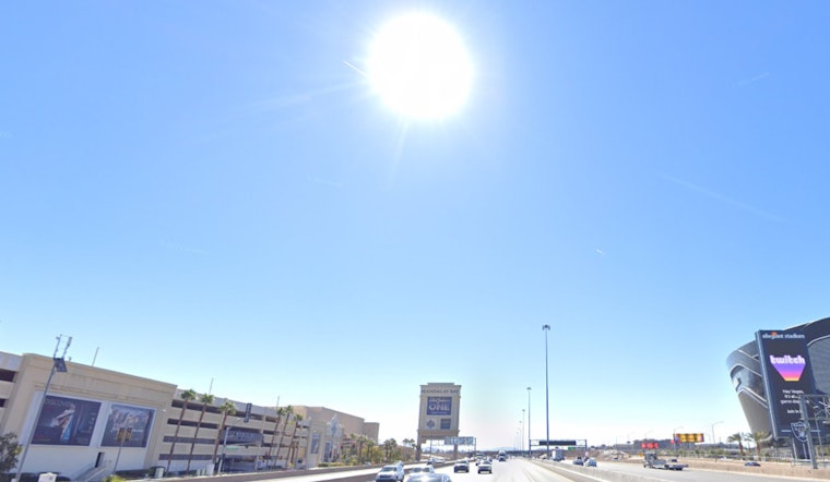
As we step into Labor Day under the relentless heatwaves of a high-pressure system, Las Vegas is bracing for yet another day tipped to be hotter than the average, with temperatures soaring 3 to 6 degrees above the seasonal norm. The National Weather Service Las Vegas advises locals and visitors alike to expect a "Moderate" Heat Risk throughout the valley with certain areas, including Death Valley and parts of the Las Vegas and Colorado River Valleys, facing a steeper "High" Heat Risk. Hydration and scheduling outdoor activities for cooler times are recommended actions for the day.
While the skies above promise abundant sunshine, that's not the full story. Southern Mohave County might encounter some cloudier unpredictability as "Convective Allowing Models" continue to highlight the potential for afternoon convection, according to the NWS. The forecast suggests gusty winds and frequent lightning as the primary concerns, with an underlying inverted-V shape indicating a dry surface. As Tuesday approaches, a shift is on the horizon – literally. A shortwave is expected to move into California's coast, which will nudge the persistent ridge eastward and open the door to the monsoonal moisture's return.
This moisture movement is set to bring with it over 1.00" of PWAT in Las Vegas, paired with increasing precipitation chances across the Mojave Desert, particularly on Tuesday and Wednesday. With that rain chance comes a new set of weather concerns, including moderate-to-heavy rainfall, isolated flash flooding, and again, frequent lightning. The abundance of moisture is foreseen to scour out northwest-to-southeast as the week progresses, leaving the latter days with precipitation possibilities pinned to primarily eastern regions and temperatures realigning closer to the norms.
Aviation operations should be smooth with minimal disruption at Harry Reid Airport, as VFR conditions will linger with just a few mid-level clouds popping up in the afternoon. However, wind speeds of around 10KT with isolated gusts to 15KT are possible with the southeast winds, as per the NWS forecast. Pilots should remain alert for potential showers and thunderstorms tomorrow afternoon, bringing sudden gusty outflow winds and possible visibility interference from lightning. Elsewhere, smoke from the Garnet Fire is expected to impact visibility temporarily in the Owens Valley, specifically at KBIH, but it should clear once southeast winds pick up later in the day. On the ground, spotters are asked to keep their eyes open and report significant weather conditions or impacts as they unfold.


