Las Vegas residents and visitors should keep an eye on the sky this weekend as the National Weather Service Las Vegas has predicted chances of showers and thunderstorms across southern Nevada, southeastern California, and northwestern Arizona. According to their early morning discussion, the forecast through the weekend shows the weather pattern will be influenced by a cut-off low pressure system over south-central California that's set to bring moisture and storm potential to the area.
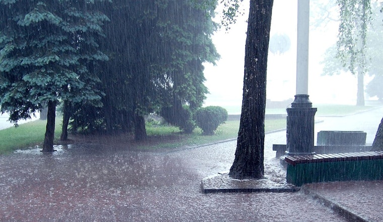
The showers and thunderstorms are expected to develop ahead of the low as it shifts inland, and activity is highly dependent on how much clears this morning; if it remains quiet, this afternoon would have higher chances, the NWS explained. These showers and thunderstorms carry with them not just rain but the possibility of isolated flash flooding—especially with any training storms—small hail, sudden gusty winds, and lightning, with Saturday posing the highest threat for flash flooding, as precipitable water values could hit a significant 0.75–1.5 inches across the region.
As for aviation interests in the area, including Harry Reid Airport, the weather could bring operational challenges. Thunderstorms will be the main concern again for this period, as stated by the NWS, which mentioned that storms expected to develop over Lake Mead shortly after sunrise could move west-northwest toward the valley, affecting flights with variable gusty winds, low ceilings, and lightning. Pilots and travelers could face delays or changes to their planned routes. Outside of the storm activity, wind speeds are predicted to remain light—around 10 knots or less—with typical diurnal directional patterns.
Looking ahead into next week, the National Weather Service anticipates that as the upper-level low moves east into Arizona and weakens, the chances for showers and thunderstorms will persist into Sunday while the moisture lingers. Remnants of what is now Hurricane Narda will get swept up into the flow, returning chances of terrain-based convection Monday and Tuesday afternoons. As this occurs, a more fall-like weather pattern should emerge with the approach of a trough to the Desert Southwest. This is expected to bring breezy and drier conditions by midweek. Spotters in the region have been encouraged to report any significant weather events as they occur, according to standard operating procedures.


