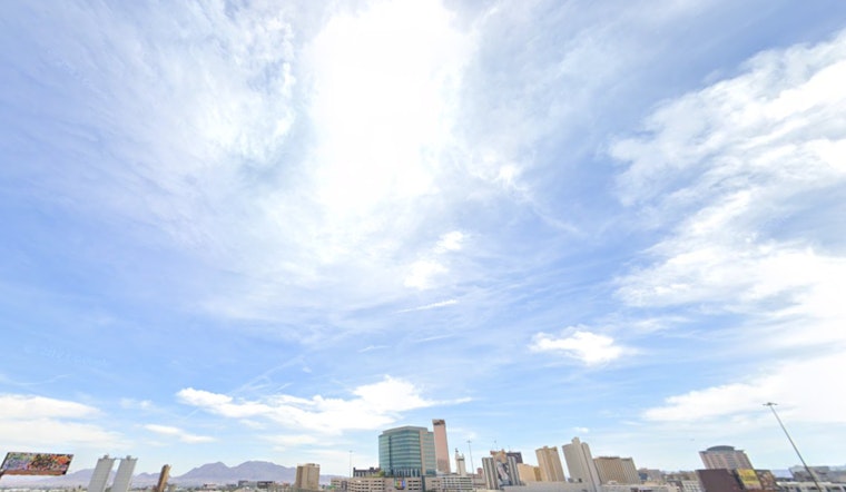
Vegas, brace yourselves for a dynamic weather landscape over the next few days; the National Weather Service has forecasted that after today's near-normal temps, we're in for a cool down and a roll of the dice when it comes to precipitation. According to the NWS report, dry conditions hold steady today, but don't get too comfy—changes are brewing with possible showers and thunderstorms from tomorrow into the weekend, though the forecast holds a low confidence level, so don't bet all your chips on it just yet.
The scene in the sky begins to change tonight, with showers potentially developing in the Sierra and Inyo County. Rainfall is expected to be light and impacts minimal, but it is the precursor to a more complex weather pattern involving anomalous moisture and an upper-level disturbance, which increases the odds of thunderstorms, especially in northeast Clark, southern Lincoln, and northern Mohave counties tomorrow. The NWS warns that if thunderstorms do occur, they could be accompanied by lightning, sudden gusty winds, and heavy rain with isolated flash flooding, so keep an eye on the sky and be prepared for quick changes.
Continuing through to the weekend, the low-pressure system will travel through Southern Nevada and into Arizona, mixing with that anomalous moisture to create an erratic weather pattern—a cocktail of conditions shaking up the usual dry Vegas ambiance. Saturday and Sunday might get the heaviest downpour, amid peaks in moisture, although forecasters are placing their bets cautiously, acknowledging a substantial spread between potential rain amounts and the fact that confidence in precipitation specifics remains as elusive as a royal flush.
Looking beyond the weekend, it's anyone's game. Models are showing diverging paths for the lingering system as it makes its way into Arizona; however, the atmosphere is holding onto its moisture, hinting at continued rain chances early next week, with afternoon temperatures staying on the cool side and highs settling below normal from Thursday through the start of next week. The NWS indicates that confidence remains low in how widespread showers and thunderstorms will be tomorrow, so while we might hope for clear skies, be prepared for a shower or two to interrupt your sunny stroll.
If you're flying in or out of Harry Reid or traversing Southern Nevada, Northwest Arizona, or Southeast California in the coming days, anticipate steady VFR conditions and typical wind patterns, with only a few mid-level clouds casting shadows from high above. For all you spotters out there, NWS encourages you to keep your eyes peeled and report any significant weather or impacts—remember, in Vegas and its skies, expect the unexpected.


