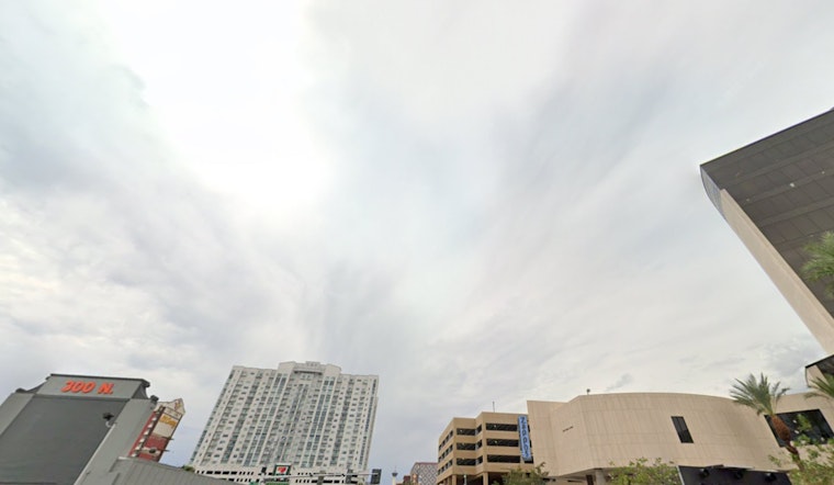
The National Weather Service in Las Vegas has issued an advisory, pinpointing the potential for one final dash of isolated showers and thunderstorms across the region this afternoon. According to the NWS forecast, monsoonal moisture, a constant companion these past days, is setting the stage for this sparse yet significant activity, with a special focus on areas such as Mohave County, the Colorado River Valley, and eastern San Bernardino County. The advisory sheds light on the presence of deep moisture pockets and precipitable water values ranging from 1 to 1.5 inches, suggesting that downpours heavy enough to trigger flash flooding are not entirely off the cards.
The accompanying conditions could to become somewhat turbulent, with soundings indicating Downdraft Convective Available Potential Energy (DCAPE) values between 1200 to 1500 J/kg. This technical jargon translates to a simple reality for residents: gusty winds are a real possibility, alongside the isolated storms. Relief from the heat, however, is foreseen as a large upper trough is expected to make its way east into the Californian coast early this week, effectively shooing away the remaining moisture from the forecast area and ushering in cooler days ahead.
Indeed, the forecast discussion elaborates on the much-anticipated decline in temperatures, outlining a drop of 5-10 degrees below seasonal averages as we head into the midweek. Las Vegas itself will bask in more temperate highs ranging in the low 90s to upper 80s, and as night falls, prepare to enjoy cooler evenings with lows dipping into the 70s.
Aviation-wise, pilots navigating the skies around Harry Reid will encounter south and southwest winds this afternoon, with forecasted speeds around 10-12KT and gusts potentially reaching 20-25KT through early evening. "VFR conditions will prevail with minimal thunderstorm activity and temperatures remaining under 100 degrees," assures the National Weather Service.
The broader southern Nevada region, northwest Arizona, and southeast California will fare similarly with a calmer weather outlook today. Any thunderstorm activity seems to be graciously restricting itself to the higher terrain this afternoon. Winds will follow the general pattern, switching to the south and southwest and losing their gusto by evening hours, sustaining the VFR status.


