As the coastal communities brace themselves for another gusty day, the National Weather Service in Melbourne has rolled out a slew of warnings for those thinking of making a beach day out of this blustery Tuesday. The forecast advises caution as a HIGH risk of life-threatening rip currents and rough surf continues for Volusia and north Brevard beaches.
The sea conditions are not only tumultuous for beachgoers but also for mariners, with the National Weather Service recommending that small crafts stay docked at least through late morning. Waves are hitting heights of 6-7 feet at buoy 41070 with some reaching up to 8 feet further offshore. Meanwhile, for those on land, showers accompanied by thunder are expected to persist across the east-central Florida coastline, increasing the risk of localized flooding as they pour out 1-3 inches of rainfall in certain locations.
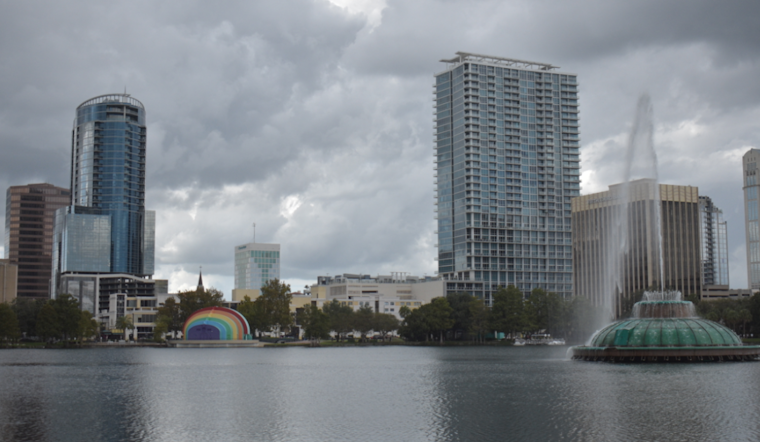
Inland matters aren't faring much better, with high temperatures pushing towards the lower 90s—though that’s only if the sun can snag a momentary break from the cloud cover. The situation is slightly more optimistic midweek, with weak high pressure set to bring some relief along the Eastern Seaboard, though the threat of heavy rainfall will keep umbrellas in hand for areas south of Orlando. As reported by the National Weather Service, Higher rain chances will be located south of Orlando, where moisture is deepest, so it's best to plan accordingly.
It looks like we’re not going to see a full reprieve until the weekend, as "weak ridging" is expected to take hold again. This shift will usher in some much-needed drier air, though the National Weather Service cautions that the former stalled frontal boundary may make its way back northward early next week. So as the week winds down, conditions may improve, but for anyone looking forward to open waters and clear skies, patience will be a necessity.
For those with flight plans or airport pickups to consider, it's worth noting that scattered to numerous showers and isolated storms could affect air travel into the afternoon. Aviation forecasts predict temporary MVFR (Marginal Visual Flight Rules) conditions for thunderstorms across all sites between 18-23Z. As for winds, expect a northeasterly direction accelerating to 10-15 knots, particularly along the coast, where gusts could reach even higher speeds.


